What is recorded here
In the centre of a larger barrow (TS058-012----) in low-lying wet pasture on a very slight S-facing slope with a second large barrow (TS058-012001-) immediately to the W. Circular area (diam. 6m) defined by an earthen bank (Wth at top 0.4m; overall Wth 1.2m; int. H 0.15m; ext. H 0.1m). The bank is best preserved SW-N and E-SE where the profile is low but consistent being barely visible elsewhere. The interior of is level, slightly lower than external ground level and clear of overgrowth.
Compiled by: Jean Farrelly
Date of upload: 26 August 2011
A ring-barrow, likely dating to the Early Bronze Age, associated with a larger barrow complex; its location suggests a possible funerary or ceremonial significance within a broader prehistoric landscape.
The monument record does not grant public access. Check the route and ask the landowner before entering private land.
- What survives
- Recorded monument
Places near here
 CastleCastle, ringwork · 1400 yd
 Enclosure in KnockphelaghEnclosure · 1.0 mi
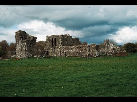 Earthwork in Ballybeg (coonagh By.)Earthwork · 1.1 mi
 IndicatedCastle, unclassified · 1.2 mi
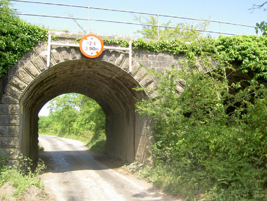 bridgebridge · 1.3 mi
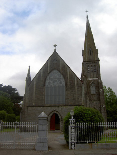 Saint Nicholas's Catholic Churchchurch/chapel · 1.3 mi
 Soloheadbeg Ambushambush · 1.9 mi
 Oola HillMountain / peak · 2.1 mi
 Soloheadbeg Ambush SiteMemorial · 2.1 mi
 The Maid of ErinMemorial · 4.3 mi
 European ashEuropean ash · 5.4 mi
 KnockseefinMountain / peak · 7.1 mi