What is recorded here
In pasture, 130m E of the townland boundary with Ballynamona. An earthwork (LI041-031----) lies 90m to the NW and barrow cemeteries (LI049-072001/026-; LI041-031001/013-) lie immediately to S and N respectively. Not marked on the historic OSi maps. In 1934 Ó Ríordáin (1936, 173) recorded numerous barrows in the townland of Lissard and Ballynamona, ‘Site a’ was described as ‘The central area of this monument was about 22’ [6.7m] in diameter and showed a slight rise towards the centre; the ditch was well marked and there was a slight but definite outer bank.’ Excavation of the central area and trenches through the fosse and bank, revealed an urn burial in the centre which consisted of an ‘urn [that] had been placed mouth downwards on the original ground surface over a cremated burial’.(ibid.) No surface remains visible on Digital Globe orthoimage taken between 2011-13 or on Google Earth orthoimages.
See attached plans and photos from Ó Ríordáin.
Compiled by: Fiona Rooney
Date of upload: 4 August 2021
A ring-barrow, likely dating to the Early Bronze Age, associated with a barrow cemetery; its location suggests a regional funerary landscape of significance.
The monument record does not grant public access. Check the route and ask the landowner before entering private land.
- What survives
- Recorded monument
Places near here
 BarrowBarrow, ditch barrow · 566 yd
 Partially indicatedFulacht fia · 588 yd
 Partially hachuredQuarry · 1061 yd
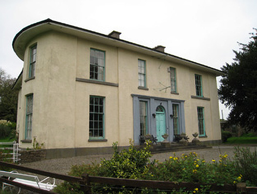 Glenefyhouse · 1194 yd
 Darby's Bed Walk LoopWalking route · 1194 yd
 Duntryleague HillMountain / peak · 1244 yd
 Duntryleague - hachuredCastle, ringwork · 1752 yd
 Carn (site of)Cairn, burial cairn · 1.5 mi
 Ryves CastleCastle, unclassified · 1.7 mi
 Saint Patrick's WellSpring · 2.2 mi
 St Patrick's WellSpring · 3.3 mi
 SlievereaghMountain / peak · 4.0 mi