What is recorded here
Barrow is a circular ring-barrow on an east-west ridge in County Clare, its shallow dome and rush-choked fosse still marking the ground beneath wide sky. Cattle graze around it now, but the shape resists forgetting: a place set apart, likely for burial or ceremony, long before roads or fields came near. The modern drains and banks cut into it, yet the circle endures, holding quiet company with whoever stands inside it at dusk.
On an E-W ridge in pasture, with wide views all around. Hachured on the OS 25-inch plan (1897) and 1920 ed. of the OS 6-inch map. Listed as ‘Enclosure’ in the RMP (1996). This circular ring-barrow (max. diam. c. 27m N–S) is defined by a slightly domed central area (diam. c. 17m; H 1.2-1.6m) and a fosse, which overgrown with rushes and is visible from S to SW (Wth 3m) and from NW to NE (Wth 7m). There is no trace of an outer bank. However, the mound is truncated by drains and modern field banks at S, W and N, and by a field bank at E. A rath (CL009-099----) lies c. 123m to the WSW.
Compiled by: Olive Alcock and Conn Herriott
Date of upload: 4 May 2022
A Neolithic ring-barrow; significant as a rare and visible example of early funerary architecture in the region.
This remains an important historical record, but the official description says the monument is no longer visible or has been destroyed. The monument record does not grant public access. Check the route and ask the landowner before entering private land.
- What survives
- No visible remains or recorded as destroyed
Places near here
 Site of Fanta Cas.Castle, tower house · 212 yd
 IndicatedEnclosure · 989 yd
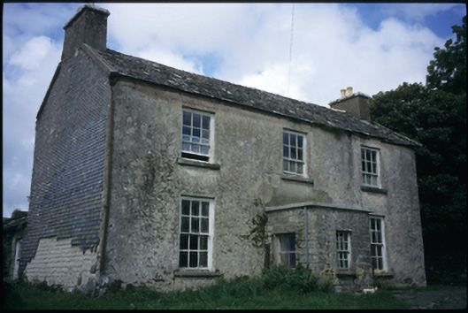 The Deaneryrectory/glebe/vicarage/curate's house · 1039 yd
 Ballybreen FortEnclosure · 1165 yd
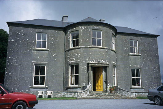 Ballykeel Housecountry house · 1717 yd
 Smithstown Castle (in ruins)Castle, tower house · 1.0 mi
 High CrossHeritage attraction · 1.4 mi
 Burren Centre KilfenoraVisitor information · 1.4 mi
 Ballyteigue Nature ReserveNature reserve · 2.0 mi
 Cahermacnaghten CashelHeritage attraction · 3.9 mi
 Cullaun 5 (C5b)Cave · 4.0 mi
 Poll CragreaghCave · 4.1 mi