What is recorded here
On a knoll on a NW-facing slope overlooking Lough Melvin. This is a grass-covered circular and dished mound (diam. 9.1m N-S; 8.9m E-W; H 0.1-0.3m) defined by a fosse or berm (Wth 0.6m) and an outer bank (Wth 1.9-2.2m; int. H 0.2m; ext. H 0.35m at N to 1-1.4m generally) (max. ext. diam. 18.4m E-W; 17.7m N-S). There is a faint causeway (Wth c. 1.5m) at SW. The ceremonial enclosure (LE008-004001-) is c. 80m to the SSW and the mound barrow (LE008-002----) is c. 35m to the W.
The above description is derived from 'The Archaeological Inventory of County Leitrim' compiled by Michael J. Moore (Dublin: Stationery Office, 2003). In certain instances the entries have been revised and updated in the light of recent research.
Date of upload: 23 September 2008
A Neolithic ring-barrow; its location on a prominent slope overlooking Lough Melvin suggests it may have had ritual or commemorative significance in the landscape.
The monument record does not grant public access. Check the route and ask the landowner before entering private land.
- What survives
- Recorded monument
Places near here
 Big FortCeremonial enclosure · 145 yd
 Church in DerrynahimmirkChurch · 1137 yd
 Saddle HillMountain / peak · 1534 yd
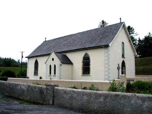 Saint Aidan's Catholic Churchchurch/chapel · 1.3 mi
 Mass-rock in DerrynahimmirkMass-rock · 1.5 mi
 Fowley's FallsPicnic place · 1.5 mi
 Giant's GraveArchaeological place · 2.2 mi
 Dough MountainMountain / peak · 2.6 mi
 Kilroosk RockNamed rock · 2.7 mi
 Ross PointHeadland · 2.9 mi
 Ashisland WoodForest · 4.3 mi
 Sally IslandIslet · 4.4 mi