What is recorded here
In level, poorly drained pasture, on a low natural rise. Circular area (diam. 6m) defined by remains of low profile fosse (Wth 1.35m; D 0.05m). Remains of low bank (Wth 2.75m; int. H 0.05m; ext. H 0.2m) WSW-N-ESE. Interior slopes down to W and has a slight depression within centre. Identified as a ring-ditch on an aerial photograph (OS 2347 mono).
Compiled by: Jean Farrelly
Date of upload: 26 August 2011
A ring-barrow, likely dating to the Early Bronze Age. Its construction reflects burial practices associated with the spread of Beaker culture in Britain.
The monument record does not grant public access. Check the route and ask the landowner before entering private land.
- What survives
- Recorded monument
Places near here
 Enclosure in Lattin NorthEnclosure · 416 yd
 Field system in Clasheleesha,lattin NorthField system · 473 yd
 grottogrotto · 1159 yd
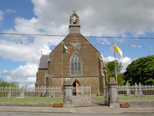 Catholic Church of the Assumptionchurch/chapel · 1229 yd
 CastleCastle, ringwork · 1.4 mi
 Site of Castle LoaghnyCastle, unclassified · 2.3 mi
 SlievenamuckMountain / peak · 3.8 mi
 Oola HillMountain / peak · 4.4 mi
 Darby's Bed Walk LoopWalking route · 4.5 mi
 St Patrick's WellSpring · 5.6 mi
 Saint Patrick's WellSpring · 5.6 mi
 Flat cemetery in Knockainy WestFlat cemetery · 7.0 mi