What is recorded here
Internal diam. c. 5m. A circular area enclosed by an internal fosse 2.7m in width and 0.3m deep and an earthen bank now only surviving on the N and W sides to a height of .35m. It is situated on a low hill in wet marshy land and is very overgrown.
The above description was derived from the 'Archaeological Survey of County Donegal. A description of the field antiquities of the County from the Mesolithic Period to the 17th century.' Compiled by: Brian Lacey with Eamon Cody, Claire Cotter, Judy Cuppage, Noel Dunne, Vincent Hurley, Celie O'Rahilly, Paul Walsh and Seán Ó Nualláin (Lifford: Donegal County Council, 1983). In certain instances the entries have been revised and updated.
Date of upload: 22 September 2008
Ring-barrow, likely dating to the Early Bronze Age. Its construction with an internal fosse and partial earthen bank reflects a regional burial tradition associated with elite or significant individuals.
The monument record does not grant public access. Check the route and ask the landowner before entering private land.
- What survives
- Recorded monument
Places near here
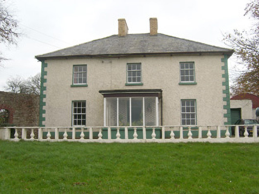 Rockfield House, KNOCKNASHANGANhouse · 462 yd
 Rowantreehill Househouse · 824 yd
 Cloghore Ridge Enclosure, River ErneEnclosure · 940 yd
 Tetunny Church (Site of), Cloghore (carrickboy Ed)Church · 1443 yd
 Belleek Pottery MuseumMuseum · 1657 yd
 Belleek PotteryHeritage attraction · 1726 yd
 Castle in ruins, Ballyhanna (carrickboy Ed)Castle, unclassified · 1.8 mi
 Castle, unclassified in Townparks (ballyshannon Ed)Castle, unclassified · 3.3 mi
 InishkeenIslet · 3.3 mi
 GorminishIslet · 3.6 mi
 Hawthorn, Tullymore, Co. DonegalHawthorn · 4.2 mi
 Rosfriar PointHeadland · 4.9 mi