What is recorded here
Situated on top of high ground in upland region with good panoramic views in all directions. Much degraded monument consisting of a barely visible circular mound (diam. 8m N-S ) enclosed by an inner fosse (Wth 2m; ext. D 0.2m) and slight traces of an outer bank (Wth 1m). A field boundary bisected the monument on a N-S axis. This field boundary has since been levelled. Monument is barely visible in the winter months and is probably not visible during the summer months.
Compiled by: Caimin O'Brien.
Date of upload: 22 September 2008
A Neolithic ring-barrow, dating to approximately 3000–2500 BCE, likely used as a burial monument for a prominent individual or family. Its location on high ground suggests ritual or symbolic significance, possibly linked to territorial markers or landscape orientation in early farming communities.
The monument record does not grant public access. Check the route and ask the landowner before entering private land.
- What survives
- Recorded monument
Places near here
 Wedge tomb in Knockcurraghbola CommonsWedge tomb · 1.0 mi
 Saint Patrick's National Schoolschool · 1.4 mi
 Fulacht fia in GarranakilkaFulacht fia · 1.4 mi
 Catholic Church of the Sacred Heartchurch/chapel · 1.4 mi
 Site of Cashlauncreen CastleCastle, tower house · 1.7 mi
 Moher HillMountain / peak · 2.0 mi
 KnockmaroeMountain / peak · 2.0 mi
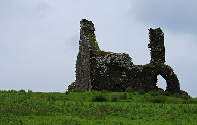 Bawn in Cullahill (glenkeen Par.)Bawn · 3.8 mi
 Killavalla WoodForest · 6.2 mi
 Gortard WoodForest · 9.0 mi
 Silvermines ViewpointViewpoint · 9.0 mi
 Our Lady Assumed into HeavenMemorial · 9.8 mi