What is recorded here
Five contiguous barrows line the west edge of the Knockainy cursus, their banks touching or pressing against the great ridge like a row of buried fists. The southernmost reaches twenty-eight metres across while the northern cluster shares walls and hides behind field fences, suggesting builders worked quickly or claimed space from an older claim. One map even names the fourth the Carn of Uainide, giving a human voice to what may have been a family line, a disputed border or a forgotten chant.
A group of five contiguous barrows (LI032-139001-/008-) on Knockainy Hill described in 2004 as following; 'A linear group of barrows is located to the west of Doonainy cairn [LI032-139005-] and towards the south-west end of the cursus monument [LI032-139007-]. It consists of five contiguous barrows, four of which are marked on the OS maps and arranged in a line in a north-south direction. All of the barrows are contained within the banks of the cursus, but it is difficult to determine whether portions of the banks of the barrows are built on top of or against the cursus banks. The first [LI032-139001-], most southerly example, 28m in diameter, consists of a bank and internal ditch enclosing a 15m-wide inner mound. The second barrow [LI032-139002-] is partially obscured by a field fence. It measures 25m in diameter and consists of a bank and internal ditch enclosing an 11.5m-wide inner mound. The third barrow [LI032-139003-] is partially obscured by the same field fence. It shares its bank with the fourth and northernmost barrow [LI032-139004-]. The bank and internal ditch enclose an 11m-wide inner mound. The fourth barrow is named 'Carn of Uainide' on the OS map. Its eastern perimeter is obscured by a field fence. The monument is 20m in diameter and consists of a bank and internal ditch enclosing an 11m-wide inner mound. Barrow 5 [LI032-139008-], a previously unrecorded barrow, lies directly to the east of 'Carn of Uainide'. It consists of a central domed circular mound, 11 m in diameter, enclosed by a ditch, best preserved on its southern side. The outer bank appears to have been completely levelled, but on its western side it would have been contiguous with 'Carn of Uainide', from which it is now separated by a field fence' (Condit and Coyne 2004).
Compiled by: Caimin O'Brien
Date of upload: 06 August 2019
See attached ASI aerial photograph ASIAP - 304/26 taken on 13/09/2002; 348/2 and 348/13 taken on 05/01/2003.
A ring-barrow, likely dating to the Early Bronze Age, part of a linear group of barrows associated with funerary practices of the period. Its location within a cluster suggests a significant ritual or burial landscape in the Knockainy area.
The monument record does not grant public access. Check the route and ask the landowner before entering private land.
- What survives
- Recorded monument
Places near here
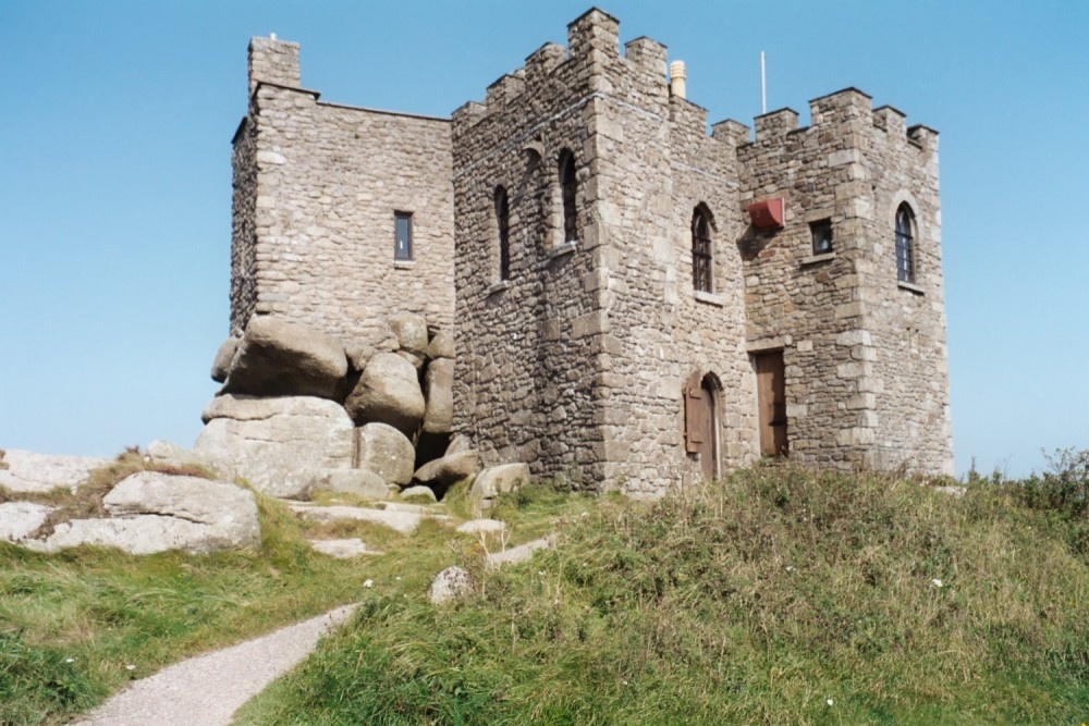 Carn of Uainide, HachuredBarrow, ring-barrow · 17 yd
 Mullach an Triuir - HachuredBarrow, ring-barrow · 55 yd
 KnockainyMountain / peak · 98 yd
 Old Parochial Housepresbytery/parochial/curate's house · 670 yd
 Knockainy Creamerycreamery · 912 yd
 Knockainy Castle (in ruins)Castle, tower house · 937 yd
 Desmond Castle (in ruins)Castle, unclassified · 1129 yd
 Flat cemetery in Knockainy WestFlat cemetery · 1.0 mi
 Glen BogForest · 1.5 mi
 Kilteely HillMountain / peak · 4.2 mi
 St. Patrick's WellSpring · 4.6 mi
 St Patrick's WellSpring · 4.6 mi