What is recorded here
A Registered Historic Monument. Shown as a circular feature in this general area on Taylor's Map of County Kildare (1783). Prominently sited on a wooded hilltop (OD 815 feet) with excellent views in all directions. A slightly raised, almost circular central area (diams. 25m E-W; 23m N-S; H 0.6-0.8m) has a small, low mound in its SW sector (diam 4.5m; H 0.6-0.7m), probably the remains of the Trigonometrical station shown on the OS 6-inch mapping, and is girdled by a broad, shallow fosse (Wth 6m), and a low outer bank (H 0.7m; Wth 2m). Intermittent traces of a possible second, narrow, shallow, outer fosse (Wth 1m; D 0.2m) may be a later feature. Some 4m to the SW, a large, roughly squared, stone block (dims. L 1.2m; Wth 1m; H 0.9m) appears to have been deliberately set in place, while two further, overgrown blocks to the SE are of uncertain significance. The monument may be a barrow which was subsequently modified for use as an inauguration site.
Compiled by: Gearóid Conroy
Date of upload: 10 June 2011
A Neolithic ring-barrow, dating to approximately 2500–2000 BCE. Its prominent hilltop location suggests it was a significant ceremonial or burial site with wide visibility, reflecting the social and ritual practices of early farming communities in the region.
The monument record does not grant public access. Check the route and ask the landowner before entering private land.
- What survives
- Recorded monument
Places near here
 Kilteel WoodWood · 173 yd
 Stone CrossCross, High cross · 353 yd
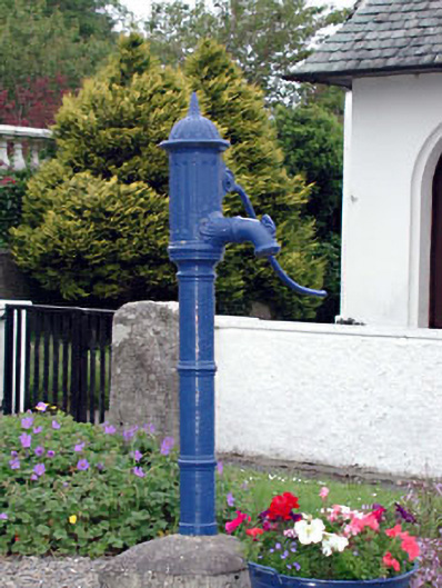 water pumpwater pump · 373 yd
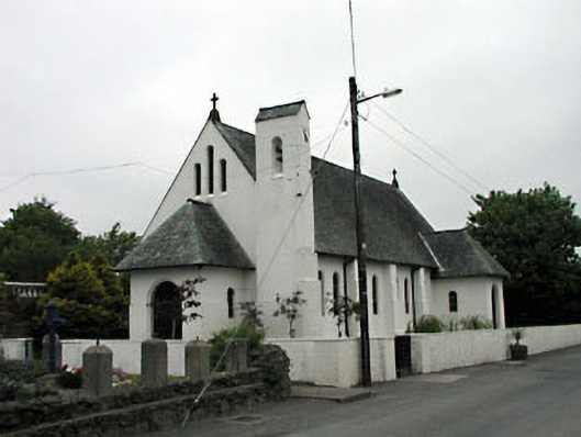 Catholic Church of Saint Laurence O'Toolechurch/chapel · 388 yd
 Kilteel CastleCastle, tower house · 416 yd
 Ecclesiastical enclosure in Kilteel UpperEcclesiastical enclosure · 543 yd
 Cupidstown HillMountain / peak · 1.5 mi
 Rathmore MoatCastle, motte and bailey · 2.0 mi
 Saggart HillMountain / peak · 2.2 mi
 Cullen's Hill WoodWood · 3.6 mi
 Inniscara GalleryGallery · 3.8 mi
 Saint Finian's WellSpring · 4.3 mi