What is recorded here
Situated in a slight hollow in a fairly level landscape. This is a low, grass-covered mound (diam. of base 17m NW-SE; H 0.5-0.7m) separated by a fosse (Wth of top 6-8m; Wth of base 1-2.6m; ext. D 0.2-0.5m) from an outer earthen bank (Wth of base 7-9m; ext. H 0.4-0.7m). The perimeter is slightly distorted by a WNW-ESE field bank at N (max. ext. diam. 37m NW-SE).
The above description is derived from the published 'Archaeological Inventory of County Meath' (Dublin: Stationery Office, 1987). In certain instances the entries have been revised and updated in the light of recent research.
Compiled by: Michael Moore
Date of revision: 12 April 2019
A Neolithic ring-barrow, c. 2500–2000 BCE, marked by a low grass-covered mound and surrounding fosse. Such barrows are significant as early funerary monuments and indicators of ritual activity in the Neolithic landscape.
The monument record does not grant public access. Check the route and ask the landowner before entering private land.
- What survives
- Recorded monument
Places near here
 Enclosure in Kilmainham (headford)Enclosure · 290 yd
 Enclosure in Headfort DemesneEnclosure · 595 yd
 Orchard WoodWood · 820 yd
 Castle ruinsCastle · 828 yd
 SycamoreSycamore · 889 yd
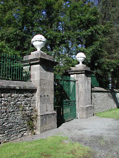 Headfort Housedemesne walls/gates/railings · 1163 yd
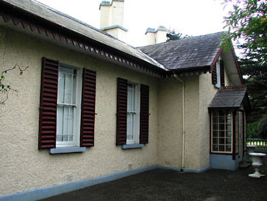 Kenlis Lodgehouse · 1488 yd
 Saint John's CemeteryMemorial · 1650 yd
 The Parnell GardenMemorial · 1.0 mi
 CastleCastle, unclassified · 1.1 mi
 BallybegMountain / peak · 2.1 mi
 BalreaskMountain / peak · 2.3 mi