What is recorded here
On the shoulder of the S-facing slope of a broad hill. Described as a circular mound (diam. of top 4-4.5m) separated by a fosse from an outer bank (diam. 10.5m N-S; 10.5m E-W) (Gannon 1972). It is not visible at ground level in pasture. Ring-barrow (RO045-051001-) is immediately to the N.
Compiled by: Michael Moore
Date of upload: 24 August 2010
A Neolithic ring-barrow; significant as a rare surviving example of an early funerary monument with a surrounding fosse and outer bank.
The monument record does not grant public access. Check the route and ask the landowner before entering private land.
- What survives
- Recorded monument
Places near here
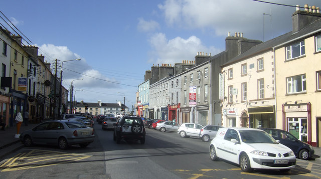 IndicatedEnclosure · 1620 yd
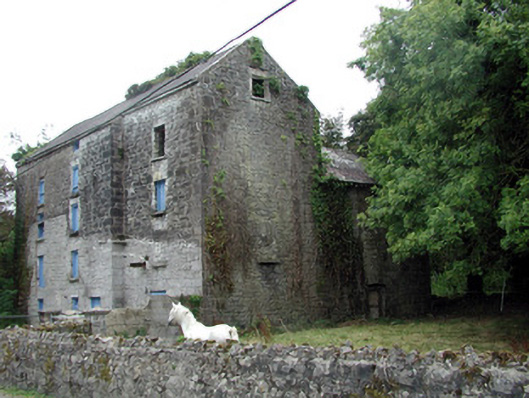 Lecarrow Millmill (water) · 1755 yd
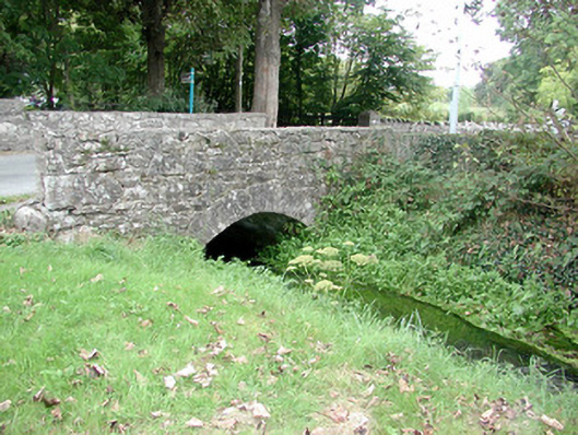 Historic buildingOfficially recorded historic building · 1759 yd
 St. Johns WellHoly well · 1.1 mi
 InchmoreIslet · 1.9 mi
 InchihicleleyIslet · 2.0 mi
 CastleCastle, tower house · 2.2 mi
 Blackbrink BayBay · 2.4 mi
 Carrownure BayBay · 2.7 mi
 St. John's WoodWood · 2.9 mi
 Rindown CastleCastle, Anglo-Norman masonry castle · 3.0 mi
 RindoonWood · 3.1 mi