What is recorded here
Near the top of a hill on a N-facing slope in marginal grazing land, with good views in all directions but now surrounded by planted deciduous trees. Hachured on the 1916 ed. of the OS 6-inch map. Listed as ‘Enclosure’ in the RMP (1996). A barely visible circular area (diam. 16m) defined by a low earthen bank (max. H 0.1m; Wth 2m) and shallow internal fosse (Wth 2.5m; D 0.2m). The bank is especially degraded to the W and NE, and the whole site is overgrown with brambles, reeds and rushes.
Compiled by: Mary Tunney
Date of upload: 2 February 2022
A ring-barrow, likely dating to the Early Bronze Age, associated with burial practices involving a central cairn and surrounding ditch. Its location suggests a ceremonial or territorial significance within the landscape.
The monument record does not grant public access. Check the route and ask the landowner before entering private land.
- What survives
- Recorded monument
Places near here
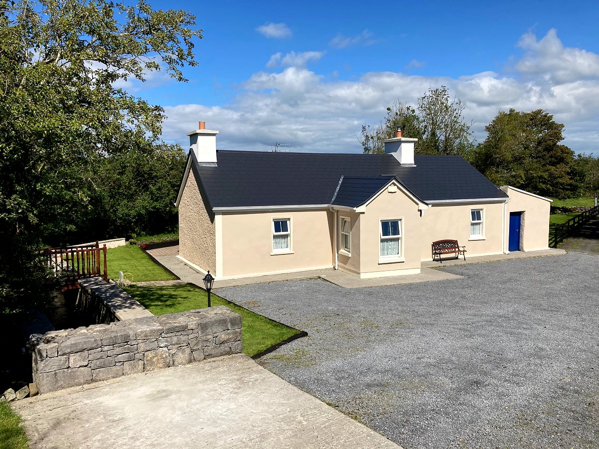 LisknockahatteenFairy fort / earthen ringfort · 485 yd
 Cross (Site of)Cross · 762 yd
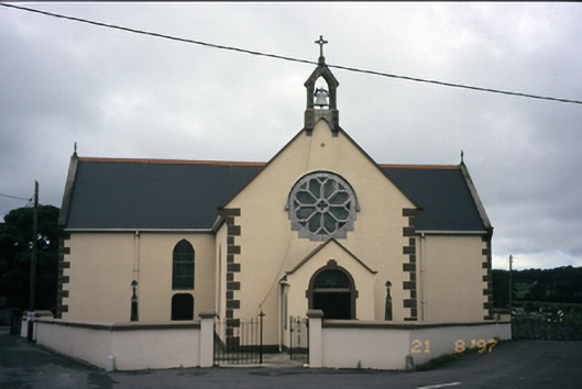 Saint Fachanan's Catholic Churchchurch/chapel · 869 yd
 Burren Centre KilfenoraVisitor information · 913 yd
 Saint Fachtnan's Cathedralcathedral · 960 yd
 High CrossHeritage attraction · 979 yd
 CashlaunawoggaCastle, tower house · 988 yd
 Caherminnaun Castle (in ruins)Castle, unclassified · 1.3 mi
 Ballyteigue Nature ReserveNature reserve · 3.5 mi
 Fergus River CaveCave · 4.4 mi
 Cahermacnaghten CashelHeritage attraction · 4.4 mi
 Cave of the Wild HorsesCave · 4.6 mi