What is recorded here
In improved flat pasture adjacent to a field boundary and ditch, 110m N of a ring-barrow (LI024-174001-). The site is not depicted on historic OSi maps. Visible on OSi orthoimages taken 2005-12 and on the Digital Globe orthoimages taken 2011-2013. Identified during the Bruff aerial photographic survey of 1986 (Bruff 157; AP 4/3678) as a ring-barrow (ext. diam. c. 8m). The site is visible on the most recent Google Earth orthoimages taken 28/06/2018 and 18/11/2018.
See attached Bruff survey image showing the site labelled Bruff 157 and Google Earth orthoimages
Compiled by: Edmond O’Donovan
Date of upload: 18 September 2020
A ring-barrow, likely dating to the Early Bronze Age. Its presence suggests a local funerary tradition and may indicate a broader pattern of burial activity in the area.
The monument record does not grant public access. Check the route and ask the landowner before entering private land.
- What survives
- Recorded monument
Places near here
 Enclosure in KilduffEnclosure · 255 yd
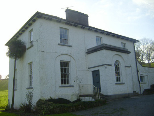 Moymore Houserectory/glebe/vicarage/curate's house · 720 yd
 EnclosureEnclosure, large enclosure · 835 yd
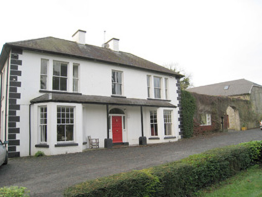 Mount Catherinehouse · 940 yd
 Kilduff Castle (in ruins)Castle, tower house · 1228 yd
 Kilduff CastleCastle · 1229 yd
 ToberagaddySpring · 1293 yd
 KnockseefinMountain / peak · 1722 yd
 St. Patrick's WellSpring · 3.2 mi
 Kilteely HillMountain / peak · 3.6 mi
 Flat cemetery in Knockainy WestFlat cemetery · 7.5 mi
 BarrowBarrow, ring-barrow · 906 yd