What is recorded here
Situated in poorly drained scrubland 160m NNE of a ringfort (KE005-027----), and 20m S of the townland boundary with Kilcock Lower. Outline of ring-barrow (approx. overall diam. 16m) visible as a circular area of scrub on the Ordnance Survey Ireland (OSI) 1995 Black & White aerial orthophotograph. On the OSI 2005 orthophotograph it is visible as a central circular-shaped mound enclosed by an inner fosse and outer bank. The monument is clearly visible today on Digital Globe aerial photograph.
See attached Google earth aerial photographs taken 16/03/2106 and 10/02/2009 showing outline of monument
Compiled by: Caimin O'Brien based on details provided by Dr. Rob O'Hara & Ms Richa Marwaha
Date of upload: 19 February 2020
Ring-barrow, likely dating to the Early Bronze Age. This type of burial monument is significant as it reflects early funerary practices and social structures in Ireland.
The monument record does not grant public access. Check the route and ask the landowner before entering private land.
- What survives
- Recorded monument
Places near here
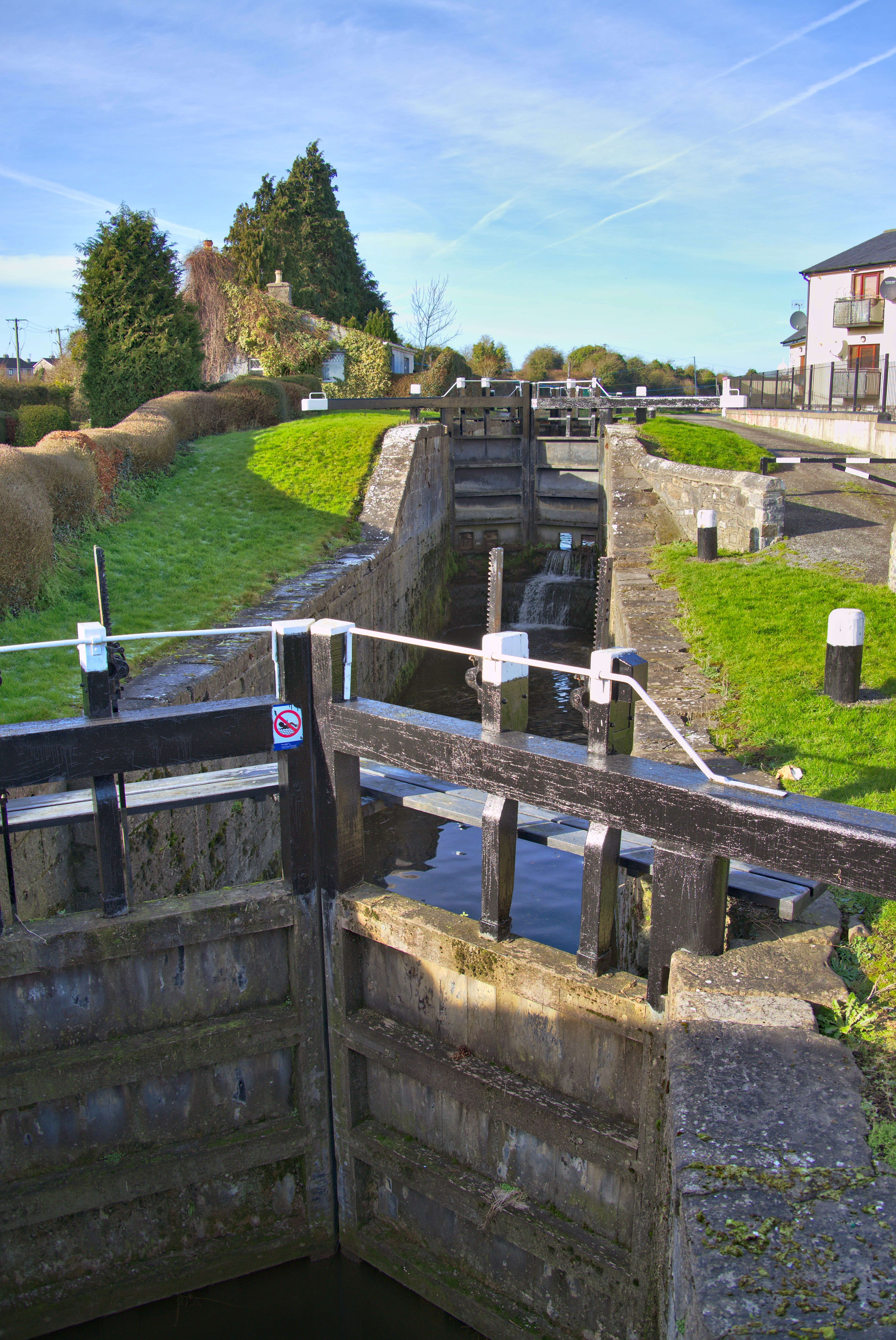 Man-made underground passage in Kilcock LowerMan-made underground passage · 831 yd
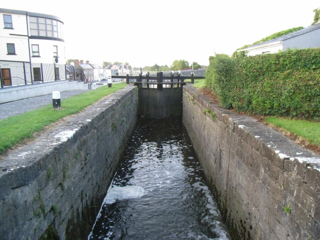 Enclosure in Kilcock UpperEnclosure · 1179 yd
 KnockanoreMountain / peak · 2.0 mi
 Lisselton Churchchurch/chapel · 2.1 mi
 Bawn in BallydonohoeBawn · 2.1 mi
 Coolbeha Househouse · 2.4 mi
 Bawn in GlouriaBawn · 2.8 mi
 Siege of Carrigafoyle Castlesiege · 4.1 mi
 Carrig IslandIsland · 4.3 mi
 Crazy GolfHeritage attraction · 4.6 mi
 Beal PointHeadland · 4.6 mi
 Bromore CliffsCliff · 4.7 mi