What is recorded here
Immediately SE of meander in Maigue River, in rough level pasture and rushes liable to flooding. Sub-circular area (18m NNW-SSE; 21m WSW-ENE) defined by scarped edge (Wth 5.4m; H 1.05m) with three concentric flat-topped external banks and intervening fosses. The enclosing element is only fully evident SSW-W but has been partially obscured by backfilling W-E. Inner bank (Wth at top 1.6m; int. H 0.55m; ext. H 0.5m) separated from scarp by shallow fosse (Wth at base 2.5m). It widens out into level area W-E (Wth c. 10m) probably as the result of the backfilling of its external fosse. This fosse (Wth at base 2.2m) is best preserved NNE-W. Second outer bank (Wth at top 2m; int. H 0.65m; ext. H 0.2m) is best preserved NE-WNW. Its external fosse (Wth at base 1.2m) evident SSW-W and outermost bank (Wth at top 1.4m; int. H 0.8m; ext. H 0.4m) evident SSW-W. The outer elements of the enclosure have been disturbed by the draining of the river on its NW side; along the bank of the river are mounds of excavated material of recent origin. The outermost bank probably passes very close to bank of river. A mound (LI046-032----) lies immediately N of the barrow.
Compiled by: Denis Power
Date of upload: 26 August 2011
A ring-barrow, likely dating to the Early Bronze Age, characterized by its sub-circular form and scarped edge. Its location near the Maigue River suggests potential ritual or funerary significance within a broader landscape of prehistoric activity.
The monument record does not grant public access. Check the route and ask the landowner before entering private land.
- What survives
- Recorded monument
Places near here
 Grave YardGraveyard · 254 yd
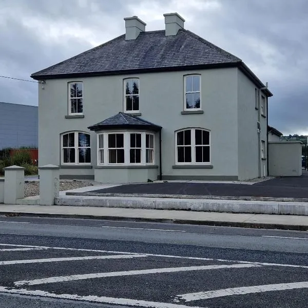 St. Colmans WellHoly well · 280 yd
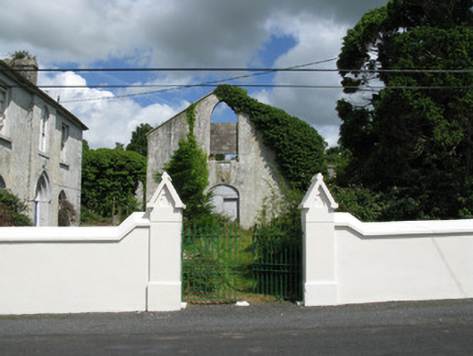 Colmanswell Catholic Churchchurch/chapel · 315 yd
 Fort Househouse · 820 yd
 Bawn in CregganeBawn · 1.7 mi
 TumulusCastle, motte · 2.2 mi
 Holy Cross CemeteryGraveyard · 2.9 mi
 Saint Derivla's WellSpring · 3.4 mi
 ToberSpring · 4.7 mi
 BallinaboolaVisitor information · 6.4 mi
 KnockfeerinaMountain / peak · 7.4 mi
 National Co-op MuseumMuseum · 8.0 mi