What is recorded here
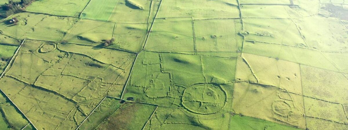
On a gentle S-facing slope of Rathcroghan plateau. Circular grass-covered platform (diam. of base 12.7m N-S; diam. of top 8.3m N-S; H 0.2m) defined by a fosse (Wth of top 4.6-6.2m; D 0.4m) and outer bank (Wth 3.5-3.7m; ext. H 0.3-0.4m), which is missing W-NW and which has a stone-marked entrance (Wth 1.5m) at NE (max. ext. diam. 23.4m N-S). Earthwork (RO022-057028-) is c. 120m to the SE. (Knox 1914a, 35 Ring No. 2; Herity 1983, 132; 1984, 113, Glenballythomas 15; Waddell 1983, 33, No. 22; 1988, 10)
This is a National Monument in state ownership: No. 473
Compiled by: Michael Moore
Date of upload: 24 August 2010
Round barrow, likely Bronze Age. Its location within the Rathcroghan plateau suggests potential ritual or elite burial significance, as this area is associated with early royal or ceremonial sites in the northwest of Ireland.
The monument record does not grant public access. Check the route and ask the landowner before entering private land.
- What survives
- Recorded monument
Places near here
 RelignareeConcentric enclosure · 489 yd
 RathnadarveEnclosure, large enclosure · 543 yd
 Ancient RoadRoad, road/trackway · 1.1 mi
 CastlerubyCastle, unclassified · 1.8 mi
 RoadRoad, road/trackway · 1.9 mi
 European ashEuropean ash · 2.0 mi
 ToberagullaSpring · 2.0 mi
 CastleCastle, unclassified · 2.7 mi
 Cruachan Aí Heritage CentreMuseum · 2.7 mi
 War of Independence Commemorative Military MemorialMemorial · 4.7 mi
 Silver IslandIslet · 6.7 mi
 Gray's WoodForest · 7.1 mi