What is recorded here
In tillage. Visible on Bing Maps Aerial view (pers. comm. P. Reid) a small circular area (est. diam. c. 15m) defined by the cropmark of a back-filled fosse. Possibly the remains of a ring-barrow.
Compiled by: Gearóid Conroy
Date of upload: 12 November 2014
A Neolithic ring-barrow, c. 2500–2000 BCE, identified through cropmarks; such monuments are significant as early funerary and ceremonial structures in the Irish landscape.
The monument record does not grant public access. Check the route and ask the landowner before entering private land.
- What survives
- Recorded monument
Places near here
 Enclosure in BarkersfordEnclosure · 494 yd
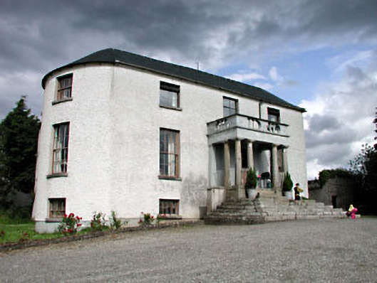 Geraldine Housefarm house · 867 yd
 Scots PineScots Pine · 885 yd
 Church in GeraldineChurch · 913 yd
 Enclosure in ForestEnclosure · 1241 yd
 Athy War MemorialMemorial · 1.2 mi
 Zoltan Zinn-Collis memorialMemorial · 1.4 mi
 Town HallMuseum · 1.5 mi
 Whites [sic] Castle, Police BarrackCastle, tower house · 1.6 mi
 Bawn in Townparks (athy West Urban Ed)Bawn · 1.6 mi
 Inch WoodForest · 1.9 mi
 History of Moat of ArdscullVisitor information · 2.1 mi