What is recorded here
At the NW edge of a low knoll in gently undulating pastureland with good views towards the NW, N and NE. This fairly well-defined subcircular ring-barrow (ext. dims. 29.1m E-W; 26.3m N-S) consists of a gently sloping roughly circular central area (diam. 10.4m N-S; 9.1m E-W) that slopes down very gently from NW to SE (0.3m over a distance of 10m) and which is defined by a shallow flat-bottomed fosse (Wth 0.9m at W; 2.9m at N; D 0.1-0.3m) and by a low outer earthen bank (Wth. 5.2m at S; 6.6m at E; H 0.1-0.2m). A small portion of the outer bank has been dug away, in the past, between ENE and ESE.
Compiled by: Olive Alcock
Date of upload: 31 July 2017
The following image has been uploaded: GA108-235----_01.jpg
A ring-barrow, likely dating to the Early Bronze Age, associated with burial practices involving a circular earthen mound. Its location on a prominent knoll suggests it may have had ritual or territorial significance in the local landscape.
The monument record does not grant public access. Check the route and ask the landowner before entering private land.
- What survives
- Recorded monument
Places near here
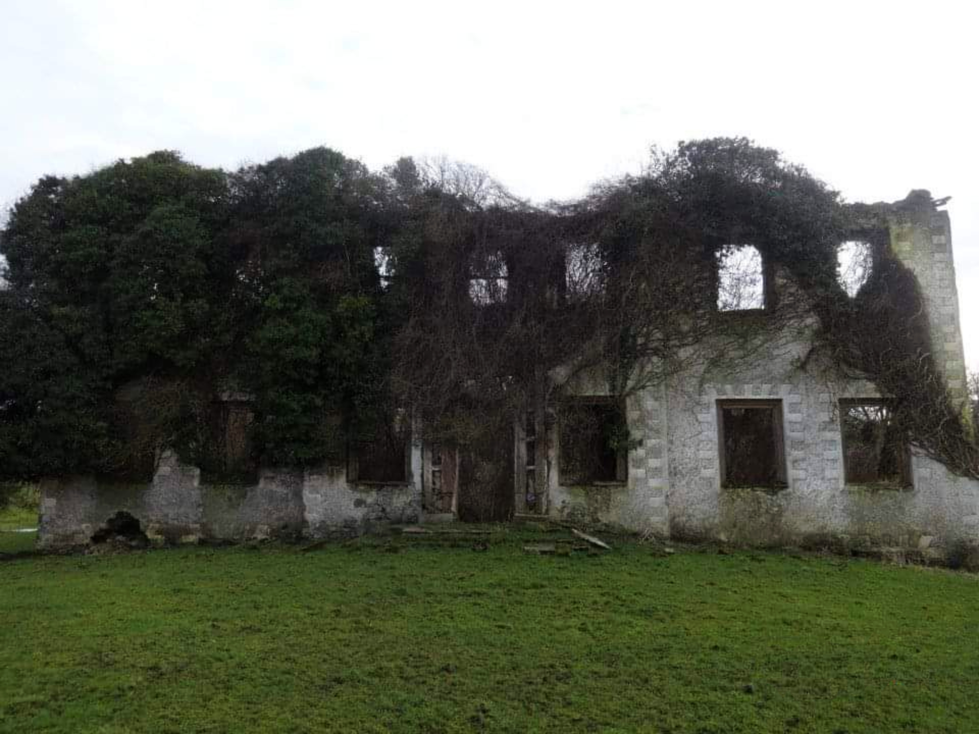 Eyrecourt Castlecountry house · 331 yd
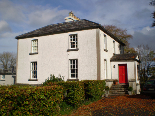 The Vicaragerectory/glebe/vicarage/curate's house · 549 yd
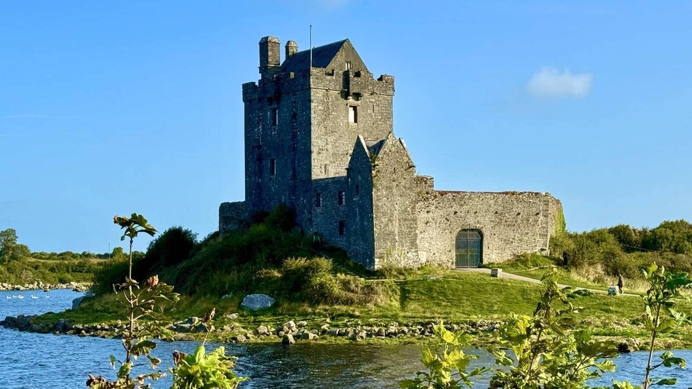 Killenehy FortArchaeological place · 696 yd
 Enclosure in Abbeyland GreatEnclosure · 1290 yd
 Lismore CastleCastle, tower house · 1.3 mi
 Redmond HillMountain / peak · 1.8 mi
 CastleCastle, unclassified · 2.3 mi
 MeelickVisitor information · 2.4 mi
 Killeen's IslandIsland · 2.5 mi
 European ashEuropean ash · 2.6 mi
 Friars IslandIsland · 2.8 mi
 Silver FirSilver Fir · 3.2 mi