What is recorded here
Located c. 180m N of the Cauteen river, in pasture. A circular enclosure (diam. c. 10m) with an internal fosse, visible on satellite imagery (© Google Earth, imagery date 11 March 2014; 18 November 2018), identified and reported by Tom Condit and by Jean-Charles Caillère. It is one of three ring-barrows in close proximity (TS050-027----; TS050-028----; TS050-029----) with another ring-barrow c. 75m to the SE. There is also an embanked enclosure (TS050-024----) c. 550m to the NNW and a bowl-barrow (TS050-026----) c. 460m to the N.
See attached:
TS050-027----_01 Google Earth image (imagery date 11 March 2014)
TS050-027----_02 Google Earth image (imagery date 18 November 2018)
Compiled by: Jean Farrelly
Date of upload: 11 January 2022
A Neolithic or early Bronze Age ring-barrow, possibly associated with a burial or ritual site; its internal fosse suggests defensive or ceremonial function, though wider significance remains unrecorded.
The monument record does not grant public access. Check the route and ask the landowner before entering private land.
- What survives
- Recorded monument
Places near here
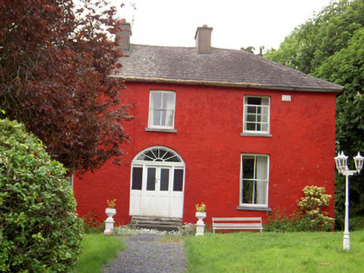 Chadville Househouse · 1318 yd
 Enclosure in KnockphelaghEnclosure · 1554 yd
 IndicatedCastle, unclassified · 1.2 mi
 Enclosure in LisheenkyleEnclosure · 1.2 mi
 Greenfield Househouse · 1.7 mi
 CastleCastle, ringwork · 1.8 mi
 Soloheadbeg Ambushambush · 2.0 mi
 Green Field ParkWood · 2.3 mi
 Oola HillMountain / peak · 2.9 mi
 I.R.A. 3rd. Tipperary Brigade MemorialMemorial · 5.0 mi
 It's a long way to TippereryHeritage attraction · 5.0 mi
 The Maid of ErinMemorial · 5.0 mi