What is recorded here
Located in a fairly level landscape. A small embanked enclosure (ext. diam. c. 25m) is depicted only on the 1836 edition of the OS 6-inch map where it is described as a ‘Fort’. This is a circular grass-covered area (diam. 9m) defined by two concentric fosses and outer banks (max. ext. diam. 25m). It is faintly visible on Google Earth (28/06/2018).
The above description is derived from the published 'Archaeological Inventory of County Meath' (Dublin: Stationery Office, 1987). In certain instances the entries have been revised and updated in the light of recent research.
Compiled by: Michael Moore
Date of revision: 27 August 2019
A Neolithic ring-barrow; its significance lies in its potential as an early funerary or ceremonial structure, though its exact function remains unclear due to limited archaeological investigation.
The monument record does not grant public access. Check the route and ask the landowner before entering private land.
- What survives
- Recorded monument
Places near here
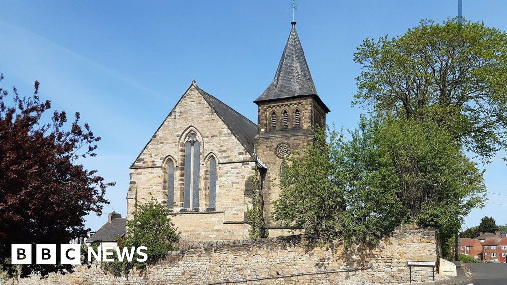 Church (Disused)Church · 341 yd
 Rodanstown fortCastle, motte · 603 yd
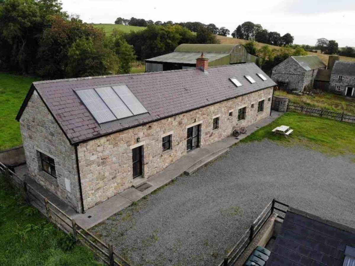 Enclosure in CalgathEnclosure · 1132 yd
 Concentric enclosure in MulhusseyConcentric enclosure · 1684 yd
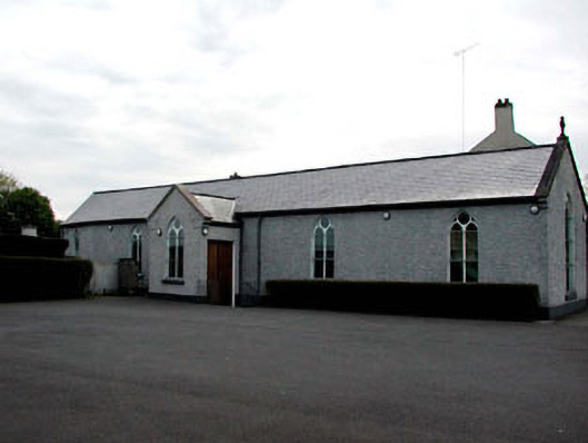 Catholic Church of the Assumptionchurch/chapel · 1.3 mi
 Mulhussy CastleCastle, tower house · 1.6 mi
 Larchil Arcadian GardensHeritage attraction · 2.0 mi
 Mass was there in Penal TimesMemorial · 2.6 mi
 Amicus AmericanisMemorial · 2.7 mi
 Library GardenHeritage attraction · 2.8 mi
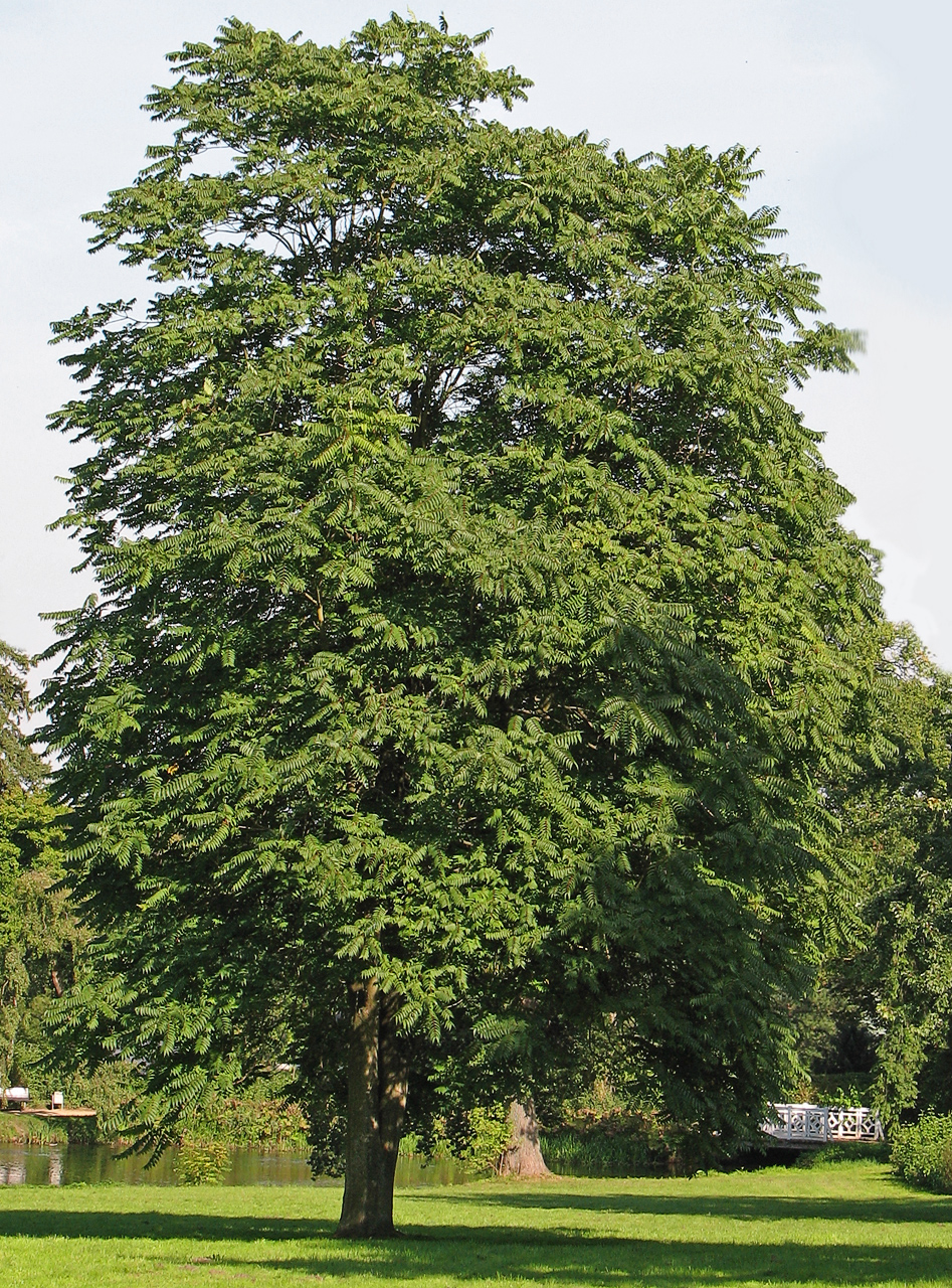 Tree of HeavenTree of Heaven · 3.0 mi
 The OrchardWood · 3.0 mi