What is recorded here
Situated on a natural rise on top of a broad, flat ridge, sloping slightly to NNE, in upland pasture; extensive views in all directions. A raised mound, truncated by a N-S field boundary on the E side (diam. 9.8m N-S; 7.7m E-W). The site is enclosed by a narrow, deep, water-logged fosse (Wth 1.2m; D 0.56m) and a well-preserved outer bank (Wth 0.8m at crest, 2.6m at base; int. H 0.6m; ext. H 0.63m). In the SW quadrant there is a large prostrate boulder (L 3m; max. Wth 1.5m; T 0.28-0.33), split in two, with a hollow beneath. The stone, composed of shaley limestone, tapers towards the SW end and is possibly the capstone of a cist (TN033-039002).
The above description is derived from 'The Archaeological Inventory of County Tipperary. Vol. 1 - North Tipperary' compiled by Jean Farrelly and Caimin O'Brien (Dublin: Stationery Office, 2002). In certain instances the entries have been revised and updated in the light of recent research.
Date of upload/revision: 22 September 2008
A Neolithic ring-barrow; significant as a rare example of early funerary architecture in the upland landscape.
The monument record does not grant public access. Check the route and ask the landowner before entering private land.
- What survives
- Recorded monument
Places near here
 Curreeny National Schoolschool · 624 yd
 KnocknascregganMountain / peak · 1641 yd
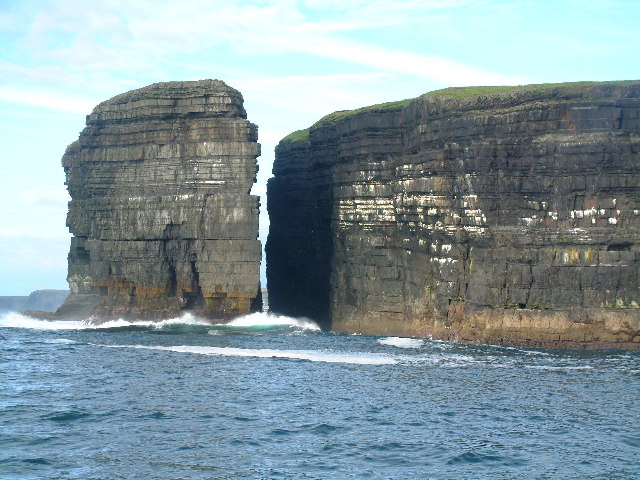 Dermot & Grania's BedArchaeological place · 1.5 mi
 Penal Mass station in Laghile (abington Par.)Penal Mass station · 1.9 mi
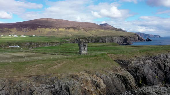 Commaun BegMountain / peak · 1.9 mi
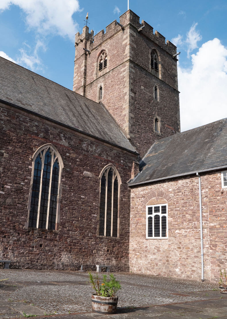 Benedictine Priory (site of)Church · 2.6 mi
 Site of Cloghonan CastleCastle, unclassified · 4.2 mi
 Castle OtwayCastle, tower house · 4.4 mi
 Silvermines ViewpointViewpoint · 4.9 mi
 Sweet ChestnutSweet Chestnut · 5.3 mi
 Killavalla WoodForest · 5.5 mi
 Our Lady Assumed into HeavenMemorial · 5.8 mi