What is recorded here
On a slight rise on the Curragh. A low, raised area enclosed by a fosse with possible low bank is visible on Google Earth orthoimage taken 17/01/2020.
See attached Google Earth orthoimage taken 14/11/2019
Compiled by: Caimin O'Brien based on details provided by Jean-Charles Caillère
Date of upload: 12 November 2020
A ring-barrow, likely dating to the Early Bronze Age; its presence indicates a funerary or ceremonial function within the wider landscape of the Curragh.
The monument record does not grant public access. Check the route and ask the landowner before entering private land.
- What survives
- Recorded monument
Places near here
 Gibbet RathFairy fort / earthen ringfort · 890 yd
 Enclosure in Curragh (kildare Ed)Enclosure · 1140 yd
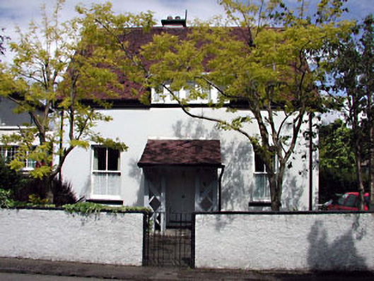 Monsofficer's house · 1697 yd
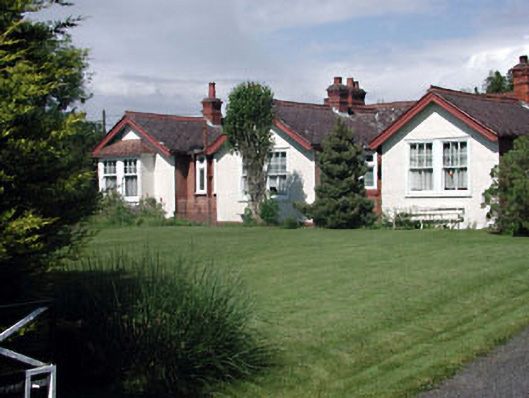 Munster Lodgeofficer's house · 1698 yd
 Saint Fiachra's GardenHeritage attraction · 1.3 mi
 Bee-bee treeBee-bee tree · 1.4 mi
 Tully Ho.Castle, unclassified · 1.4 mi
 Irish National Stud and Japanese GardensHeritage attraction · 1.4 mi
 Dawn RedwoodDawn Redwood · 1.4 mi
 CastleCastle, motte · 1.6 mi
 Bithia Mary CrokerMemorial · 7.0 mi
 Grand Canal WayVisitor information · 8.3 mi