What is recorded here
On a slight rise on the Curragh. A small sunken area enclosed by a fosse with possible low bank is visible on Google Earth orthoimage taken 17/01/2020.
See attached Google Earth orthoimage taken 14/11/2019
Compiled by: Caimin O'Brien based on details provided by Jean-Charles Caillère
Date of upload: 12 November 2020
A ring-barrow, likely dating to the Early Bronze Age. Its presence indicates prehistoric burial activity on the Curragh plain, an area known for its archaeological significance.
The monument record does not grant public access. Check the route and ask the landowner before entering private land.
- What survives
- Recorded monument
Places near here
 Gibbet RathFairy fort / earthen ringfort · 841 yd
 Enclosure in Curragh (kildare Ed)Enclosure · 1101 yd
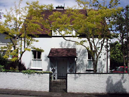 Monsofficer's house · 1757 yd
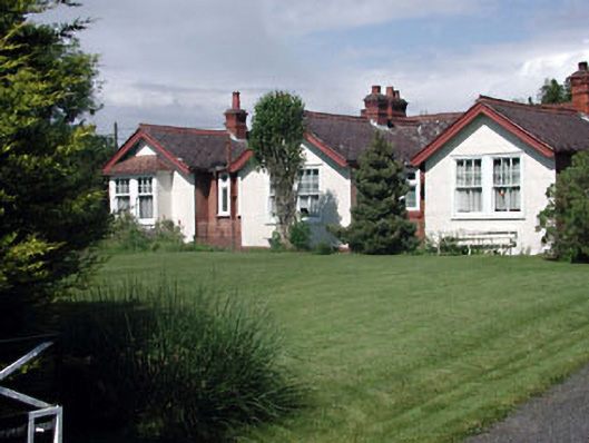 Munster Lodgeofficer's house · 1757 yd
 Saint Fiachra's GardenHeritage attraction · 1.3 mi
 Bee-bee treeBee-bee tree · 1.4 mi
 Tully Ho.Castle, unclassified · 1.4 mi
 Irish National Stud and Japanese GardensHeritage attraction · 1.4 mi
 Dawn RedwoodDawn Redwood · 1.4 mi
 CastleCastle, motte · 1.6 mi
 Bithia Mary CrokerMemorial · 7.0 mi
 Grand Canal WayVisitor information · 8.3 mi