What is recorded here
In rough upland pasture, on a mountain plateau with panoramic views S, W and N. Croagh Patrick looms in splendid isolation on the distant horizon to W, and the Nephin Beg Range defines the horizon at NNW. At NE ground rises to higher ridges. It is prominently sited on a low E-W spine of raised ground on the relatively level plateau.
Inspected in 1998, this possible ring-barrow consists of a gently domed grass-covered mound (6m E−W; 6.7m N−S; H 0.9m at N & S, 0.4m at E; o.6m at W) apparently of earthen construction. There is a shallow depression/hollow (4m NW−SE; 3m NE-SW) adjacent to the mound at SW.
An earlier report (NMI Topographical Files, undated) recorded this monument as follows: ‘Slightly damaged in spring in digging. It is c. 10m in diameter with a central low mound surrounded by a ditch and external bank.’ Another ring-barrow (MA080-043002-) is located 60m downslope to SW.
Compiled by: Jane O’Shaughnessy
Date of upload: 3 December 2021
The monument record does not grant public access. Check the route and ask the landowner before entering private land.
- What survives
- Recorded monument
Places near here
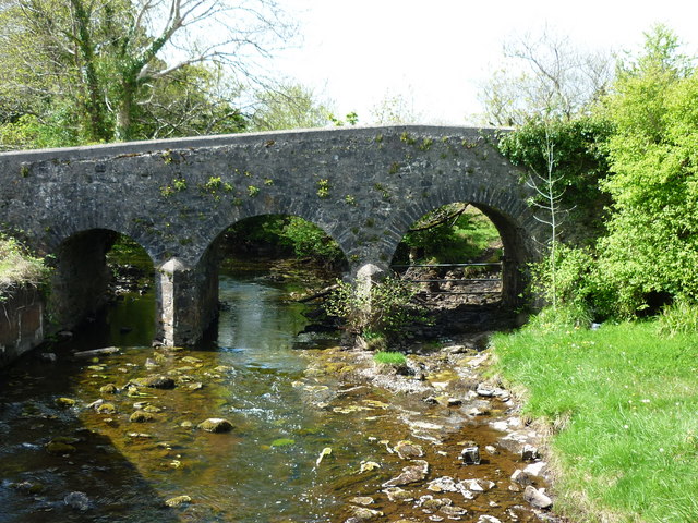 Enclosure in Largan (gallen By.)Enclosure · 1468 yd
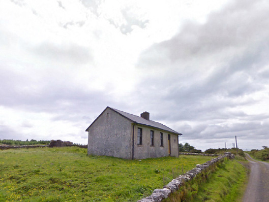 Comederry National Schoolschool · 1.2 mi
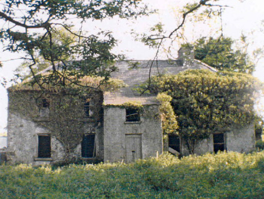 Rockstownfarm house · 1.6 mi
 Carrowbeg WoodWood · 1.8 mi
 CashlankeeghCastle, unclassified · 1.9 mi
 CastleCastle, ringwork · 3.3 mi
 I'll Send You The FareMemorial · 3.9 mi
 Kiltimagh MuseumMuseum · 4.1 mi
 Oak WoodWood · 6.1 mi
 National Museum of Ireland, Country LifeMuseum · 6.5 mi
 Thorn CaveCave · 6.6 mi