What is recorded here
Indicated as an sub-rectangular enclosure on the 1st (1839) ed. OS 6-inch map and as a relatively small enclosure on the 1948 revision. The monument was levelled c. 2000. On satellite imagery (Digitalglobe 2005-2012) the fosse of the enclosure (internal diam. c. 24m; overall diam. c. 30m) is visible.
Compiled by: Jean Farrelly
Date of upload: 3 April 2023
A ring-barrow, likely dating to the Early Bronze Age. Its sub-rectangular enclosure suggests a funerary or ritual function, though its significance is obscured by modern levelling.
The monument record does not grant public access. Check the route and ask the landowner before entering private land.
- What survives
- Recorded monument
Places near here
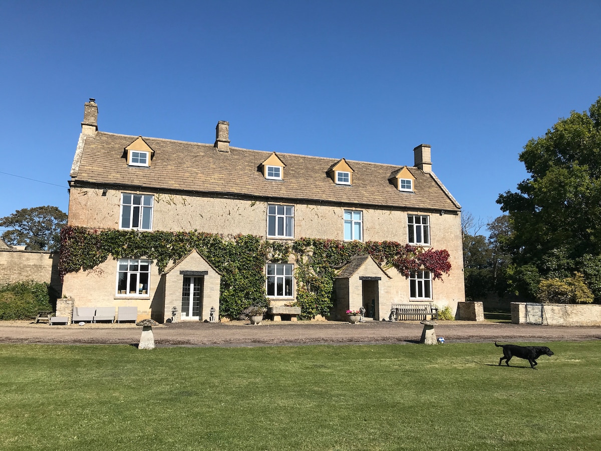 Enclosure in CotterellsboolyEnclosure · 278 yd
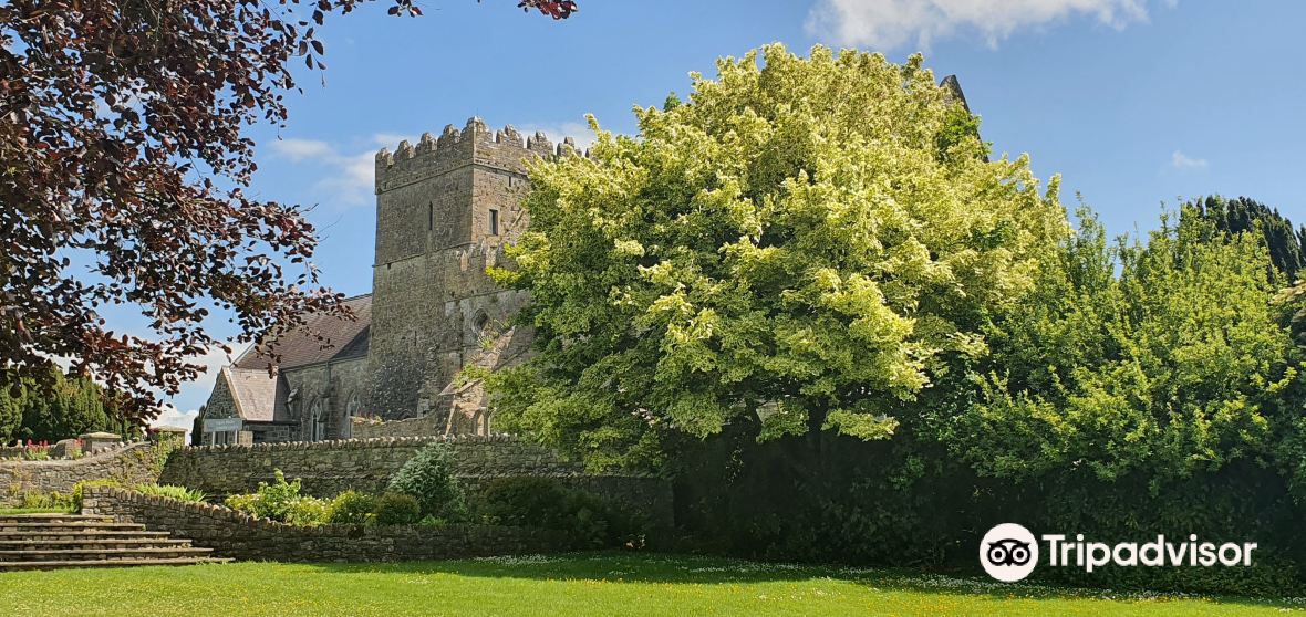 Enclosure in BallycoamEnclosure · 363 yd
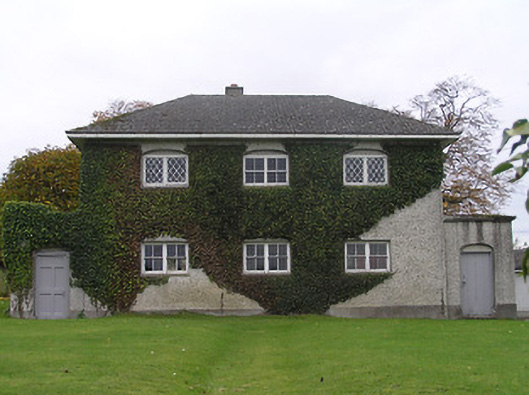 Stonyford Schoolbank/financial institution · 1105 yd
 Site of Village Well 1810-1950Memorial · 1233 yd
 Site of Lee's ForgeMemorial · 1268 yd
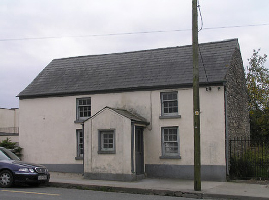 unknownunknown · 1291 yd
 Mount Juliet HouseCastle · 1614 yd
 CastleCastle, unclassified · 1615 yd
 Pedunculate OakPedunculate Oak · 1.1 mi
 Turkey OakTurkey Oak · 1.8 mi
 Holy WellSpring · 2.3 mi
 Kells Augustinian PrioryHeritage attraction · 2.5 mi