What is recorded here
On reclaimed pasture with Glenatrahaun Stream 125m to NW forming the townland boundary with Ballynagally. The monument lies 150m SW of the group of five ring-barrows (LI024-322/224----) and a ditch-barrow (LI024-070----) and 40m SE of earthworks (LI024-189002-). The ring-barrow is not depicted on historic OSi maps, but it is faintly visible on OSi orthoimages taken 2005-12 and on Digital Globe orthoimages taken 2011-2013. Identified by Bruff aerial photographic survey in 1986 (Bruff 32; AP 4/3668) as a circular ring-barrow (ext. diam. c. 10m) that consists of a central circular area surrounded by a fosse, the site appears to have a slight external bank. The ring-barrow is visible on the Google Earth orthoimages taken 18/11/2018.
See attached Bruff survey image showing the site labelled Bruff 32 and Google Earth orthoimage
Compiled by: Edmond O’Donovan
Date of upload: 15 September 2020
A ring-barrow, likely dating to the Early Bronze Age, associated with a group of similar monuments in the area. Its location suggests it is part of a wider funerary landscape, indicating social or ritual significance in the local prehistoric community.
The monument record does not grant public access. Check the route and ask the landowner before entering private land.
- What survives
- Recorded monument
Places near here
 BarrowBarrow, ring-barrow · 212 yd
 Grave Yd.Graveyard · 1035 yd
 Pallas MoatCastle, motte · 1464 yd
 (Site of) CastleCastle, unclassified · 1509 yd
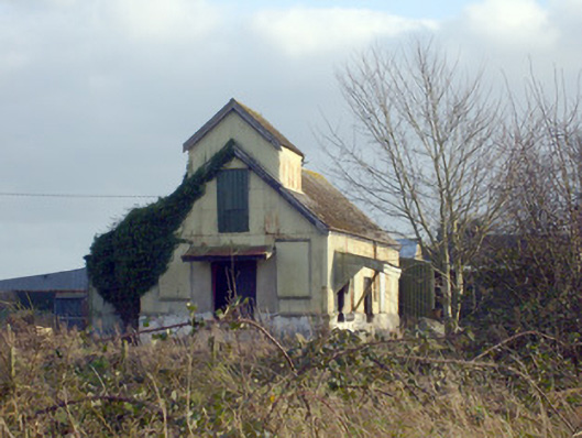 Race Creamerycreamery · 1700 yd
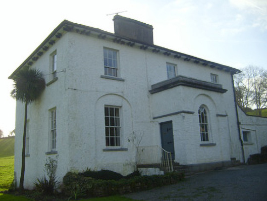 Moymore Houserectory/glebe/vicarage/curate's house · 1.2 mi
 KnockseefinMountain / peak · 1.3 mi
 St. Patrick's WellSpring · 1.6 mi
 Kilteely HillMountain / peak · 2.0 mi
 ToberagaddySpring · 2.3 mi
 Flat cemetery in Knockainy WestFlat cemetery · 6.0 mi
 Ballinvreena LoopVisitor information · 11 mi