What is recorded here
Surveyed in 2013 and described by McGuinness (2014, 38) as following: 'Circular earthwork (Diam. 33.5 N-S x 33.5m E-W) comprising a low circular mound or platform (Diam. 19.2m N-S x 19.2m E-W) surrounded by a ditch and external bank, located on the top of a natural knoll which appears to have been shaped into the monument; in undulating pastureland with other low knolls nearby. Bank is fairly well preserved except for parts of N side, with a breach (?entrance) 5.1m in width on NE side, and rises up to 0.58m above ditch where highest in S part of monument, and up to 1.13m above external ground level at SE; its width reaches up to 3.7m on W side. Highest part of interior mound or platform is on NE side, which may comprise a small, poorly defined but roughly circular mound 6m in diameter and 0.42m in height; this rises up to 1.45m above the ditch. Ditch is up to 3.4m in width; its base is higher than ground level outside the bank, giving a kind of stepped profile with the central mound or platform noticeably higher than ground level surrounding the monument. A tiny mound (WM018-083----) lies on a low knoll 135m to SW of ring-barrow. Frewin Hill is prominent on horizon to NNE'.
See attached plan of barrow surveyed and drawn by ASI
Compiled by: Caimin O'Brien based on details provided by David McGuinness.
Date of upload: 23 February 2015
Circular Neolithic ring-barrow; significant as a rare and well-preserved example of a ceremonial or funerary earthwork from the Neolithic period.
The monument record does not grant public access. Check the route and ask the landowner before entering private land.
- What survives
- Recorded monument
Places near here
 harbour/dock/portharbour/dock/port · 762 yd
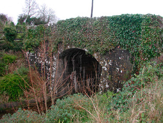 Coolnahay Bridgebridge · 795 yd
 WestmeathVisitor information · 796 yd
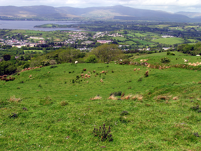 Partially hachuredFairy fort / earthen ringfort · 1024 yd
 OutlinedFairy fort / earthen ringfort · 1239 yd
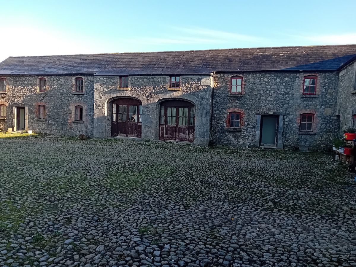 Bawn in BalleagnyBawn · 1420 yd
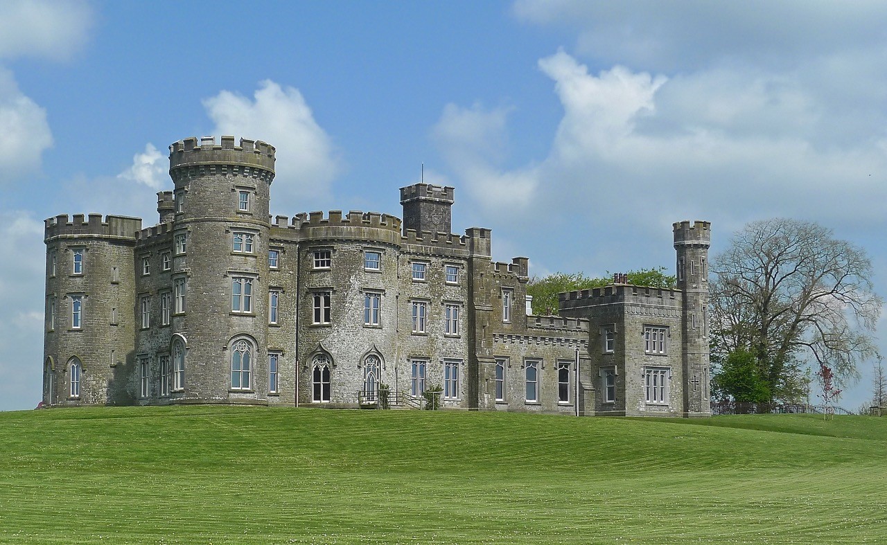 CastleHouse, fortified house · 1.3 mi
 Carrickphilbin IslandIslet · 2.9 mi
 Ancient Ring FortWood · 3.0 mi
 Srudarra IslandIslet · 3.3 mi
 Baronstown ForestWood · 4.8 mi
 Hill of UisneachMountain / peak · 5.4 mi