What is recorded here
Located c. 60m W of the Marlow river, in wet pasture. A circular enclosure (diam. c. 10m), which appears to have an internal fosse, visible as a cropmark on satellite imagery (Google Earth satellite imagery, 20 January 2020), identified and reported by Jean-Charles Caillère. Its size and morphology suggest that this is a possible ring-barrow. There is another possible ring-barrow (TS046-068----) c. 11m to the SW.
See attached:
TS046-069----_01 Google Earth image (imagery date 20 January 2020)
Compiled by: Jean Farrelly
Date of upload: 11 January 2022
A ring-barrow, likely dating to the Early Bronze Age, possibly associated with a burial or territorial marker; its internal fosse suggests a defensive or ceremonial function, though its wider significance remains unclear.
The monument record does not grant public access. Check the route and ask the landowner before entering private land.
- What survives
- Recorded monument
Places near here
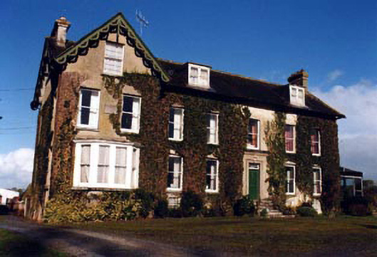 Marlow Househouse · 1355 yd
 Drum WoodWood · 1464 yd
 Clonoulty HillMountain / peak · 1513 yd
 IndicatedFairy fort / earthen ringfort · 1737 yd
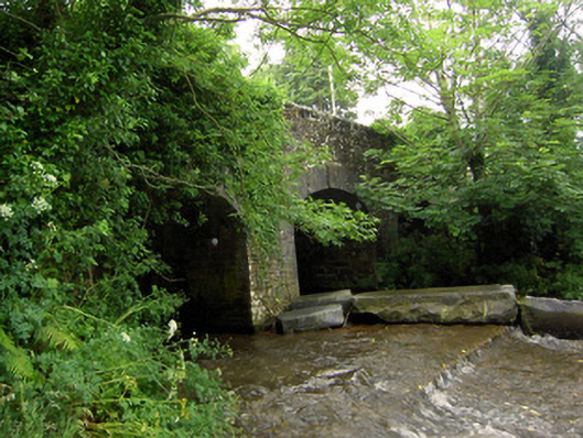 Rossmore Bridgebridge · 1.1 mi
 Enclosure in MarlowEnclosure · 1.1 mi
 Graigone Castle (in ruins)House, fortified house · 1.6 mi
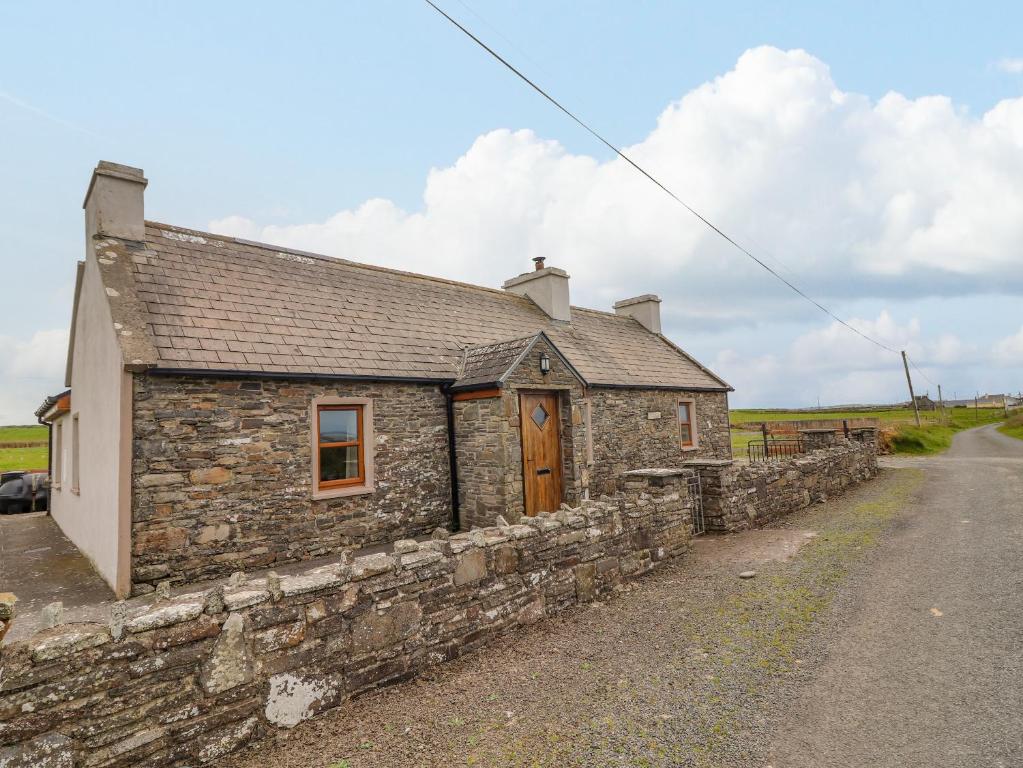 Bawn in ClogherBawn · 1.7 mi
 Ring HillMountain / peak · 3.2 mi
 Wych ElmWych Elm · 4.2 mi
 Cormackstown Heritage CentreMuseum · 5.7 mi
 Soloheadbeg Ambushambush · 9.9 mi