What is recorded here
Located c. 70m W of the Marlow river, in wet pasture. A circular enclosure (diam. c. 10m), which appears to have an internal fosse, visible as a cropmark on satellite imagery (Google Earth satellite imagery, 20 January 2020), identified and reported by Jean-Charles Caillère. Its size and morphology suggest that this is a possible ring-barrow. There is another possible ring-barrow (TS046-069----) c. 11m to the NE.
See attached:
TS046-068----_01 Google Earth image (imagery date 20 January 2020)
Compiled by: Jean Farrelly
Date of upload: 11 January 2022
A ring-barrow, likely dating to the Early Bronze Age, associated with burial practices in Atlantic Europe. Its internal fosse and cropmark visibility suggest ceremonial or defensive significance, though specific historical context remains unclear.
The monument record does not grant public access. Check the route and ask the landowner before entering private land.
- What survives
- Recorded monument
Places near here
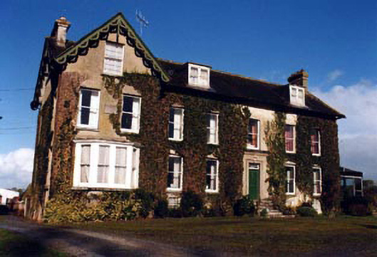 Marlow Househouse · 1373 yd
 Drum WoodWood · 1465 yd
 Clonoulty HillMountain / peak · 1527 yd
 IndicatedFairy fort / earthen ringfort · 1758 yd
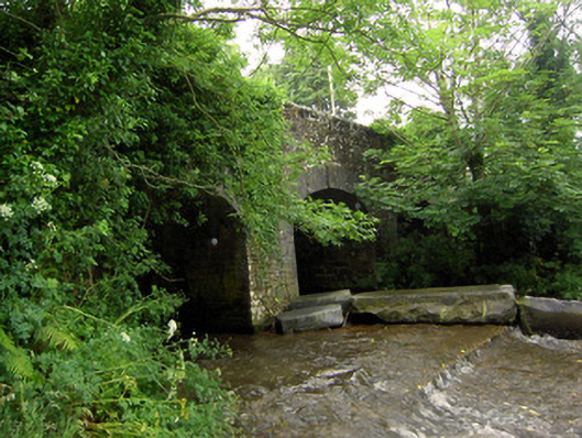 Rossmore Bridgebridge · 1.1 mi
 Enclosure in MarlowEnclosure · 1.1 mi
 Graigone Castle (in ruins)House, fortified house · 1.6 mi
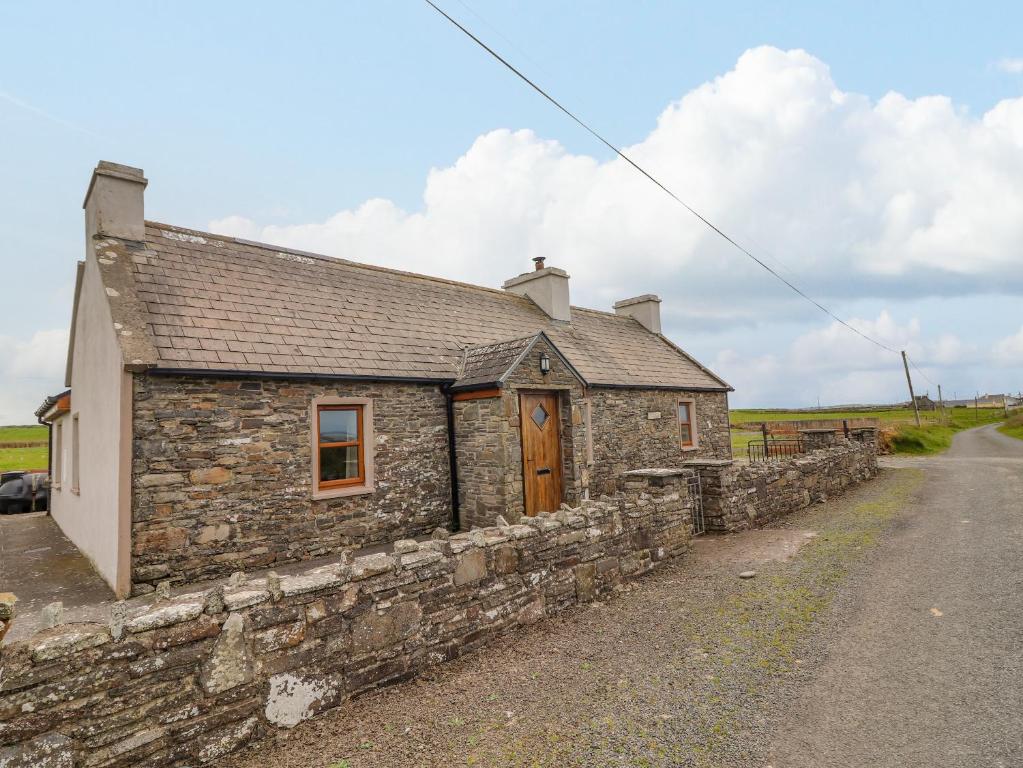 Bawn in ClogherBawn · 1.8 mi
 Ring HillMountain / peak · 3.2 mi
 Wych ElmWych Elm · 4.2 mi
 Cormackstown Heritage CentreMuseum · 5.7 mi
 Soloheadbeg Ambushambush · 9.9 mi