What is recorded here
In wet pasture, 42m SW of the River Mahore that forms townland boundary with Oldtown. The most northerly of a group of four barrows (LI040-037002-/004-). Not marked on OSi historic maps. Identified as Site I by Tarbett (1987, 53) and described as, ‘the best surviving of the ring barrows. It measures 14m in diameter and follows the line of the ground slope to the East. The interior platform is circular measuring 7m in diameter, it is well defined by the ring ditch which measures circa 20cms in depth 1m in width, the enclosing bank can visibly be traced all around where it measures not more than 50cms in height.' Possible trace of monument visible on OSi orthophotograph taken between 2005-12 and on Digital Globe orthoimage taken 2011-13. Possible outline visible on Google Earth orthoimages taken 25/05/2017.
See attached location map and drawing from C. Tarbett and Google Earth orthoimages.
Compiled by: Fiona Rooney
Date of upload: 12 May 2021
A ring-barrow, likely dating to the Early Bronze Age, associated with a group of barrows in a ritual landscape; its unrecorded status on historic maps highlights the value of ongoing archaeological survey in the region.
The monument record does not grant public access. Check the route and ask the landowner before entering private land.
- What survives
- Recorded monument
Places near here
 BarrowBarrow, bowl-barrow · 457 yd
 Ahnageeragh Bridgebridge · 597 yd
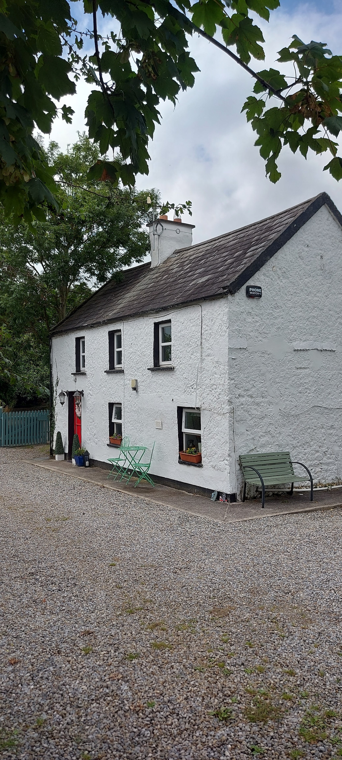 Enclosure in CastlefarmEnclosure · 809 yd
 CastleCastle, motte · 1182 yd
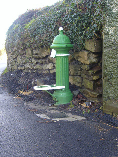 water pumpwater pump · 1218 yd
 Flat cemetery in Knockainy WestFlat cemetery · 1.7 mi
 Mote - HachuredCastle, motte · 1.8 mi
 St Patrick's WellSpring · 3.0 mi
 Kilteely HillMountain / peak · 3.3 mi
 St. Patrick's WellSpring · 3.7 mi
 Ballinvreena LoopVisitor information · 5.8 mi
 SlievereaghMountain / peak · 6.5 mi