What is recorded here
Barrow is a ring-barrow in County Limerick, Ireland. It is a slight mound surrounded by two fosses and two banks. The inner fosse and bank are continuous. The outer bank has two breaks that probably resulted from efforts to drain the water-logged fosse. The mound measures about 14m across, while the whole monument spans about 64m. It stands in a low-land marsh meadow subject to flooding. The mound rises about 1.2m above the ground. Its outline remains clearly visible in aerial photographs.
Barrow described in 1942-3 as following; 'This structure consists of a slight mound surrounded by two fosses and two banks. The inner fosse and bank are continuous. The outer bank has two breaks none of which seem original and are probably due to efforts to drain the fosse, which is water-logged. The diameter of the mound itself is 45' [14m] approximately and the overall diameter of the whole monument is 210' [64m]. The surrounding field is a low-land marsh meadow which is subject to flooding. The height of the mound is about 4' [1.2m] (O'Kelly 1942-3, 238). Outline of barrow clearly visible today on Digital Globe aerial photographs.
Compiled by: Caimin O'Brien
Date of upload: 6 March 2020
A Neolithic ring-barrow; likely dates to the Early to Middle Bronze Age. Its double fosse and bank structure reflects ritual burial practices and social organisation in prehistoric Ireland.
The monument record does not grant public access. Check the route and ask the landowner before entering private land.
- What survives
- Recorded monument
Places near here
 BarrowBarrow, bowl-barrow · 462 yd
 CastleCastle, motte · 696 yd
 Ahnageeragh Bridgebridge · 1194 yd
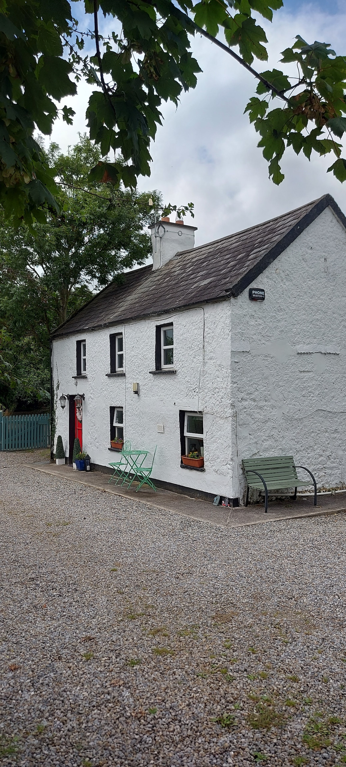 Enclosure in CastlefarmEnclosure · 1327 yd
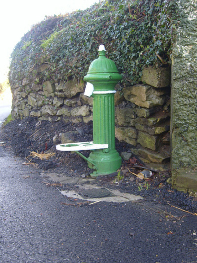 water pumpwater pump · 1635 yd
 Mote - HachuredCastle, motte · 1.7 mi
 Flat cemetery in Knockainy WestFlat cemetery · 2.0 mi
 St Patrick's WellSpring · 2.8 mi
 Kilteely HillMountain / peak · 3.5 mi
 St. Patrick's WellSpring · 4.0 mi
 Ballinvreena LoopVisitor information · 5.6 mi
 SlievereaghMountain / peak · 6.3 mi