What is recorded here
In rough wet pasture, 15m SW of the River Mahore that forms townland boundary with Oldtown. One of four barrows (LI040-037001/004-). Not marked on OSi historic maps. Identified by Tarbett (1987, 53) as ‘Site 3' and described as; ‘This barrow is circular with an external diameter of 12m. The interior platform measures 5m in diameter and is relatively well defined by the shallow ring ditch which measures circa 1.50m in width and 15cms in depth. Only traces of the enclosing bank survive at the NW and South’. No surface remains visible on OSi orthophotograph taken between 2005-12 and on Google Earth orthoimages.
See attached location map and drawing from C. Tarbett and Google Earth orthoimages.
Compiled by: Fiona Rooney
Date of upload: 12 May 2021
A Neolithic ring-barrow; part of a small barrow group. Its presence indicates early prehistoric funerary activity in the Coolalough area.
The monument record does not grant public access. Check the route and ask the landowner before entering private land.
- What survives
- Recorded monument
Places near here
 BarrowBarrow, bowl-barrow · 430 yd
 CastleCastle, motte · 890 yd
 Ahnageeragh Bridgebridge · 894 yd
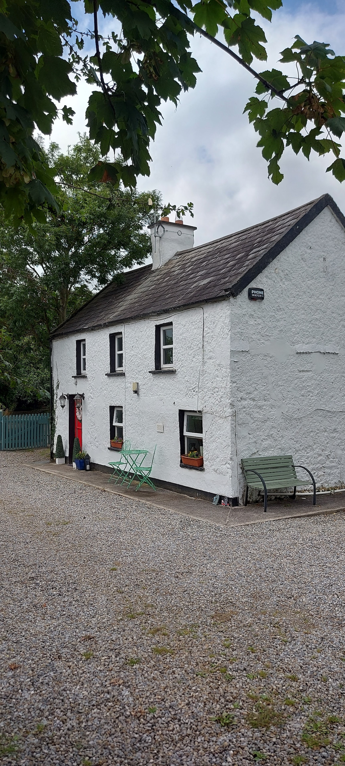 Enclosure in CastlefarmEnclosure · 1003 yd
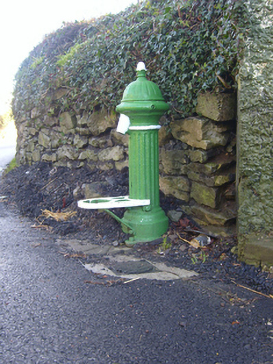 water pumpwater pump · 1460 yd
 Mote - HachuredCastle, motte · 1.8 mi
 Flat cemetery in Knockainy WestFlat cemetery · 1.9 mi
 St Patrick's WellSpring · 2.9 mi
 Kilteely HillMountain / peak · 3.3 mi
 St. Patrick's WellSpring · 3.8 mi
 Ballinvreena LoopVisitor information · 5.7 mi
 SlievereaghMountain / peak · 6.4 mi