What is recorded here
Situated in flat terrain on a valley floor in poorly drained land, under pasture. A roughly circular ring-barrow (diam. 19.1m N-S; 17.8m E-W) consisting of a circular mound (diam 10.7m; 0.42m H) enclosed by a fosse (Wth 2-2.5m; D 0.37m) and outer bank (Wth 1.5m at crest, 3.7m at base; ext. H 0.31m). The mound has a central depression probably due to cattle erosion. A standing stone (TN040-040002) lies prostrate in the fosse at W and the outer bank is not visible at this point. Some stone protrudes from the central mound. According to local tradition this is the burial site of the 'Great Dane' and was part of the 'Jewel of Dane' estate. The fosse and central depression become waterlogged in the winter.
The above description is derived from 'The Archaeological Inventory of County Tipperary. Vol. 1 - North Tipperary' compiled by Jean Farrelly and Caimin O'Brien (Dublin: Stationery Office, 2002). In certain instances the entries have been revised and updated in the light of recent research.
Date of upload/revision: 22 September 2008
A Neolithic ring-barrow, dating to the 4th–3rd millennium BCE, representing an early form of burial monument significant for understanding prehistoric funerary practices in lowland areas.
The monument record does not grant public access. Check the route and ask the landowner before entering private land.
- What survives
- Recorded monument
Places near here
 Saint Patrick's National Schoolschool · 1243 yd
 Catholic Church of the Sacred Heartchurch/chapel · 1268 yd
 Templeougher (site of)Church · 1291 yd
 Site of Cashlauncreen CastleCastle, tower house · 1.2 mi
 Moher HillMountain / peak · 1.3 mi
 Wedge tomb in Knockcurraghbola CommonsWedge tomb · 1.6 mi
 KnockmaroeMountain / peak · 2.6 mi
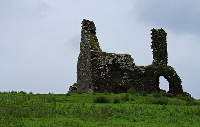 Bawn in Cullahill (glenkeen Par.)Bawn · 4.0 mi
 Killavalla WoodForest · 6.7 mi
 Gortard WoodForest · 8.7 mi
 Silvermines ViewpointViewpoint · 9.8 mi
 Our Lady Assumed into HeavenMemorial · 11 mi