What is recorded here
Situated on top of a prominent rise, in undulating pasture, with good views to SE, S, W and NW. Monument described in 1971 and 1977 as a circular-shaped area (overall dims. 20.1m E-W; 18.7m N-S) enclosed by an inner fosse, an intervening bank and an outer fosse. The inner fosse is quite slight and shallow. The intervening earth and stone bank is much disturbed and the outer fosse is visible intermittently at N, S and SW. Within the interior is a very low rounded rise (diam. 5m).
Compiled by Alison McQueen, Vera Rahilly and Caimin O’Brien.
Date of upload: 12 August 2019
A ring-barrow, likely dating to the Early Bronze Age, associated with burial practices involving circular enclosures and ditches. Its location on a prominent rise suggests ritual or ceremonial significance, common in prehistoric funerary monuments of the period.
The monument record does not grant public access. Check the route and ask the landowner before entering private land.
- What survives
- Recorded monument
Places near here
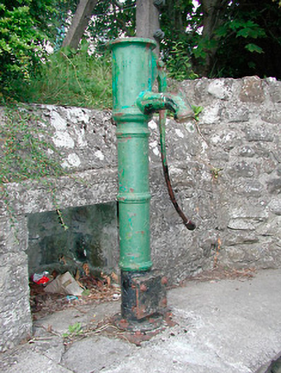 water pumpwater pump · 575 yd
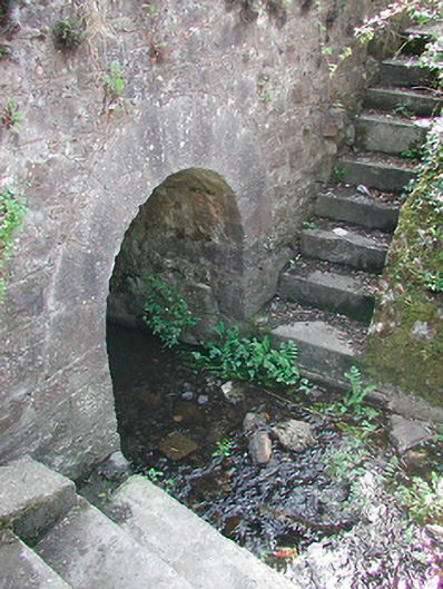 bridgebridge · 578 yd
 AltarMass-rock · 723 yd
 CastleCastle, unclassified · 740 yd
 Plary Monastery (in Ruins)Castle, tower house · 870 yd
 Site of CampBastioned fort · 979 yd
 Corran IslandIslet · 1619 yd
 Japanese pagoda treeJapanese pagoda tree · 3.3 mi
 Sam's ParkForest · 3.4 mi
 KnockastiaMountain / peak · 3.7 mi
 Hill of UisneachMountain / peak · 3.9 mi
 Craft WorkshopHeritage attraction · 5.0 mi