What is recorded here
On poorly drained reclaimed grassland, one of a cluster of 5 barrows (LI024-333/337----) which make up a possible barrow cemetery. Outline of ring-barrow visible on OSi orthophoto taken 2005-12.
Compiled by: Caimin O'Brien based on details provided by Edmond O'Donovan
Date of upload: 8 September 2020
Ring-barrow, likely dating to the Early Bronze Age. It is part of a possible barrow cemetery, indicating a significant prehistoric burial landscape in the area.
The monument record does not grant public access. Check the route and ask the landowner before entering private land.
- What survives
- Recorded monument
Places near here
 BarrowBarrow, pond barrow · 469 yd
 Field system in CloghaderreenField system · 638 yd
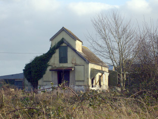 Race Creamerycreamery · 780 yd
 (Site of) CastleCastle, unclassified · 801 yd
 Pallas MoatCastle, motte · 891 yd
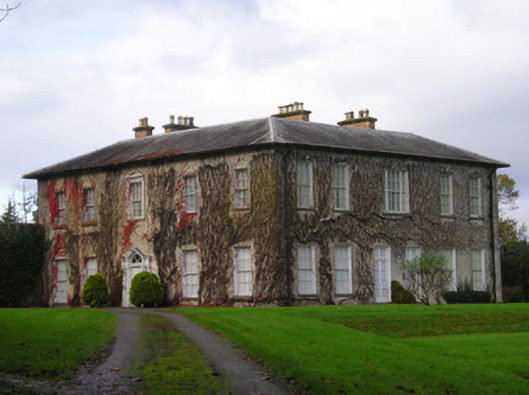 Derkcountry house · 988 yd
 KnockseefinMountain / peak · 1.8 mi
 ToberagaddySpring · 1.9 mi
 St. Patrick's WellSpring · 2.4 mi
 Kilteely HillMountain / peak · 2.7 mi
 Flat cemetery in Knockainy WestFlat cemetery · 6.5 mi
 Ballinvreena LoopVisitor information · 11 mi