What is recorded here
On top of a low rise, in level ground which is liable to flooding. A circular flat-topped mound (diam. c. 8m; H c. 0.3m) enclosed by a flat-bottomed fosse (Wth 4.7m; D c. 0.5m). The remains of an external earthen bank (H c. 0.1m) are evident W-SE with wide breaks at NE and NW. A number of kerbstones are evident around the top of the mound c. 1m in from the edge. A linear E-W field boundary has been built on the outer edge of fosse at S.
The above description is derived from the published 'Archaeological Inventory of County Sligo' compiled by Ursula Egan, Elizabeth Byrne, Mary Sleeman with Sheila Ronan and Connie Murphy (Dublin Stationery Office, 2005).
Date of upload: 18 January 2008
A Neolithic ring-barrow; dates to the early to middle Neolithic period (c. 4000–3000 BCE). It represents a significant funerary monument type associated with early farming communities in Ireland.
The monument record does not grant public access. Check the route and ask the landowner before entering private land.
- What survives
- Recorded monument
Places near here
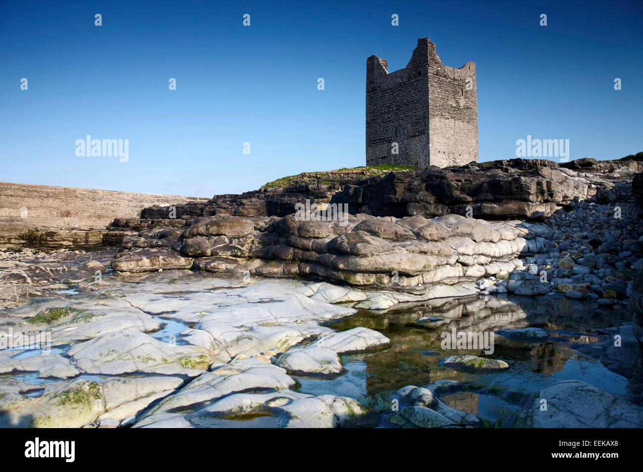 Indicated (1838).Fairy fort / earthen ringfort · 704 yd
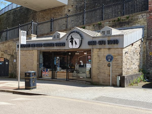 Enclosure in ToberscardanEnclosure · 901 yd
 Muckelty HillMountain / peak · 1753 yd
 CastleCastle, unclassified · 1.2 mi
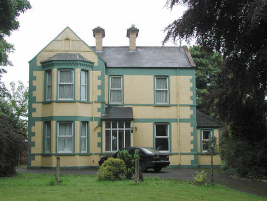 The Mounthouse · 1.3 mi
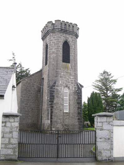 Saint George's Church (Achonry)church/chapel · 1.4 mi
 Ballyara Castle (in Ruins)Castle, unclassified · 2.7 mi
 Tymon's HillMountain / peak · 3.8 mi
 Old Cave Burial GroundArchaeological place · 5.4 mi
 European ashEuropean ash · 5.5 mi
 ElderElder · 5.5 mi
 Lough Talt TrailVisitor information · 8.9 mi