What is recorded here
In pasture, located on the gently E-facing slope of a low hill.
This enclosure is indicated on the 1838 OS 6-inch as a roughly circular feature outlined by a dashed line, with trees indicated in the interior; on the 1930 edition it is outlined with a solid line, with trees depicted in the interior.
Circular area (17m E−W; 19m N−S) with a sunken interior defined by a slightly raised rim with an external fosse on the N arc. Constructed on sloping ground, the sunken interior slopes steeply from W down to E, with a drop of 1.6m from the perimeter at W to the centre, where the ground gently levels out. The perimeter has a hint of a raised rim but it does not constitute a clearly defined ‘bank’. It has a low external scarp, which is pronounced (ext. H 0.7m) only on the downslope S arc, but is almost flush (max. ext. H 0.2m) with exterior ground level on the upslope W arc; and it drops directly into the fosse on the N arc. There is a slightly raised internal lip (Wth 1-2m) on the downslope E arc, but elsewhere there is no clearly defined internal edge, instead the perimeter merges seamlessly with the steep slope of the sunken interior. The fosse is evident NW−NE as a very shallow depression (Wth 2m; ext. D 0.2m); it cannot be traced elsewhere around the circuit. Five mature ash trees, a beech tree and two hawthorn trees grow around the perimeter. There is a dense growth of nettles in the interior.
The nature of this enclosure is uncertain. Lavelle (1994, 9, no. 42) classified it as a ringbarrow and mistook it as the find spot of two excavated cists (MA100-056----; MA100-056001-). In fact, the cists were found c. 30m to N (Movius 1934, 72, fig. 1). It may be the remains of a ringbarrow, the interior of which has been disturbed or quarried out. Another possibility is that it is some form of estate feature or tree-ring.
Attached images:
MA100-056002-_01.JPG Viewed from N
MA100-056002-_02.JPG Interior, from N
Compiled by: Jane O’Shaughnessy
Date of upload: 12 March 2021
A ring-barrow, likely dating to the Early Bronze Age. Its circular form and tree-covered interior suggest a funerary monument of regional significance.
The monument record does not grant public access. Check the route and ask the landowner before entering private land.
- What survives
- Recorded monument
Places near here
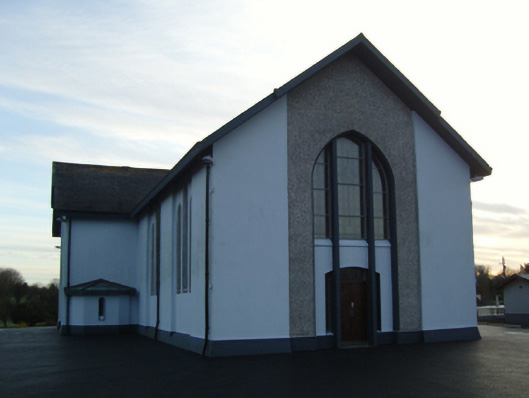 Saint Mary's Catholic Churchchurch/chapel · 341 yd
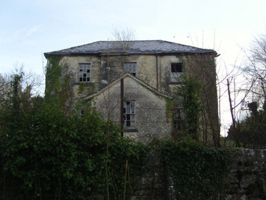 Burrisacarra Schoolschool · 401 yd
 Enclosure in KnockacurreenEnclosure · 525 yd
 IndicatedFairy fort / earthen ringfort · 774 yd
 Moore Hall Forest TrailWalking route · 1.3 mi
 Moore Hall ForestForest · 1.5 mi
 Deer IslandIslet · 1.6 mi
 European hornbeamEuropean hornbeam · 1.7 mi
 Wall of CastleBawn · 1.7 mi
 Castle CarraCastle · 1.7 mi
 Lady's IslandIslet · 1.8 mi
 Cerberus, from Thomastown HouseMemorial · 1.8 mi