What is recorded here
Barrow is a hidden ring-barrow in wet Limerick pasture, visible only in an aerial photograph taken for a gas pipeline rather than on modern satellite images. The place preserves human time beneath grass and water while surrounding fields continue ordinary life. It is a reminder that memory can disappear from human maps yet remain written in the land itself.
In wet pasture 285m NW of the Morningstar River that marks the townland boundary with Rathcannon. A conifer plantation is located 200m to S. Possible barrow (LI031- 151004-) lies 15m to SE. Not depicted on OSi historic maps. Identified from examination of aerial photograph (BGE 1:5000 No. 48) of the region taken 03/11/1984 associated with Bórd Gáis Éireann Curraleigh West-Limerick gas pipeline. No surface remains visible on OSi orthophoto taken between 2005-2012 or on any Google Earth orthoimages.
Compiled by: Martin Fitzpatrick
Date of upload: 16 March 2021
The monument record does not grant public access. Check the route and ask the landowner before entering private land.
- What survives
- Recorded monument
Places near here
 Enclosure in Carrigeen (smallcounty By.)Enclosure · 514 yd
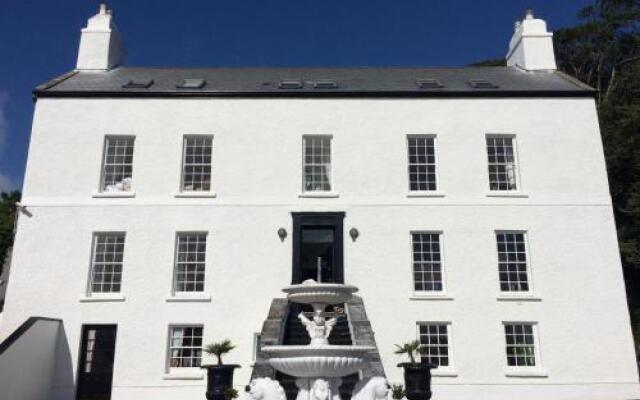 BarrowBarrow, ditch barrow · 715 yd
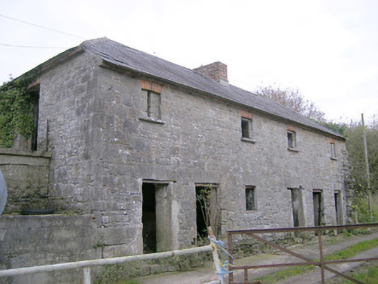 Camas Houseoutbuilding, bridge · 1523 yd
 RoadRoad, road/trackway · 1.3 mi
 OutlinedBawn · 1.7 mi
 (Site of) Tullabracky CastleCastle, unclassified · 2.1 mi
 Lough GurVisitor information · 3.4 mi
 Grange Stone CircleArchaeological place · 3.4 mi
 European ashEuropean ash · 4.8 mi
 Banoge's WellSpring · 5.2 mi
 Biodiversity in the Maigue CatchmentVisitor information · 5.5 mi
 Flat cemetery in Knockainy WestFlat cemetery · 6.2 mi