What is recorded here
In gently undulating pasture on a slight E-facing slope. A slightly raised, roughly semicircular area (6m N-S) defined by a fosse (Wth 1.4m; D 0.2m) NNE-S. A band of light-coloured grass (Wth 2m) outside the fosse may indicate a levelled external bank. There is a barrow (SL033-064001-) in the adjoining field to N.
The above description is derived from the published 'Archaeological Inventory of County Sligo' compiled by Ursula Egan, Elizabeth Byrne, Mary Sleeman with Sheila Ronan and Connie Murphy (Dublin Stationery Office, 2005).
Date of upload: 18 January 2008
A Neolithic ring-barrow; wider significance not recorded.
The monument record does not grant public access. Check the route and ask the landowner before entering private land.
- What survives
- Recorded monument
Places near here
 IndicatedFairy fort / earthen ringfort · 261 yd
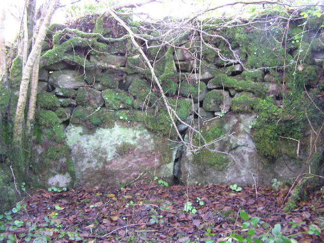 Enclosure in Carrigans UpperEnclosure · 382 yd
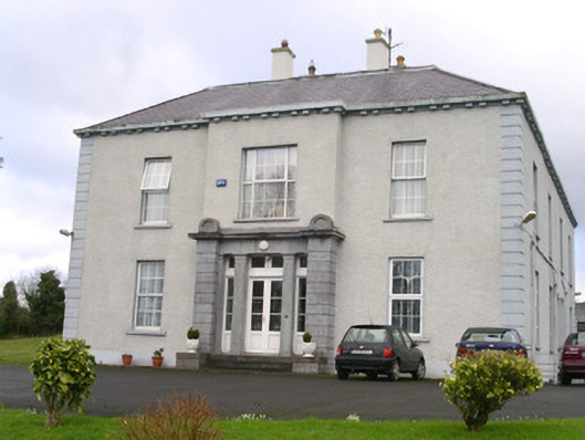 Earlsfieldhouse · 628 yd
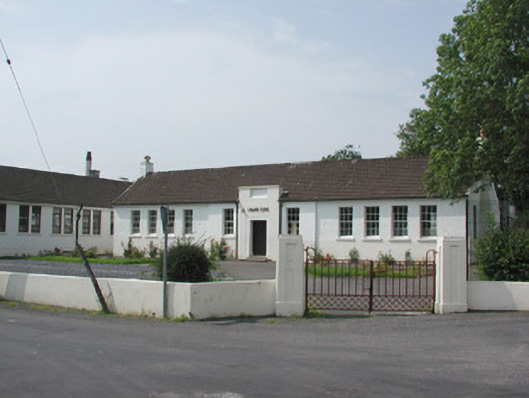 Ballymote Technical Schoolschool · 931 yd
 Brother WalfridMemorial · 1432 yd
 Ballymote CastleCastle · 1518 yd
 RathdoonyCastle, motte · 1.2 mi
 ElderElder · 3.1 mi
 James MorrisonMemorial · 3.6 mi
 European ashEuropean ash · 3.6 mi
 Caves of KeshCave · 3.7 mi
 School CaveCave · 3.8 mi