What is recorded here
On top of a hillock overlooking a broad basin S-W-NE. Circular, domed, grass-covered mound (diam. 20m N-S; 20m E-W; H 0.9-1.5m), which may be the natural hill, defined by a berm (Wth 2.5-4m) which is bordered by a scarp (H 0.5-0.8m). The base (dims 28m NNE-SSW; 27m WNW-ESE) is cut back at NW where there is a straight edge (L 14.5m) parallel with an ENE-WSW field bank that is 10m distant. There is no visible fosse or entrance, but there is an earthfast stone (RO048-109002-) with an oval cross-section (dims 1m x 0.6m; H 0.8m) 8m to the S.
Compiled by: Michael Moore
Date of upload: 24 August 2010
A Neolithic ring-barrow; its location on a prominent hillock suggests it may have had ritual or funerary significance in the landscape.
The monument record does not grant public access. Check the route and ask the landowner before entering private land.
- What survives
- Recorded monument
Places near here
 R. C. ChapelBuilding · 777 yd
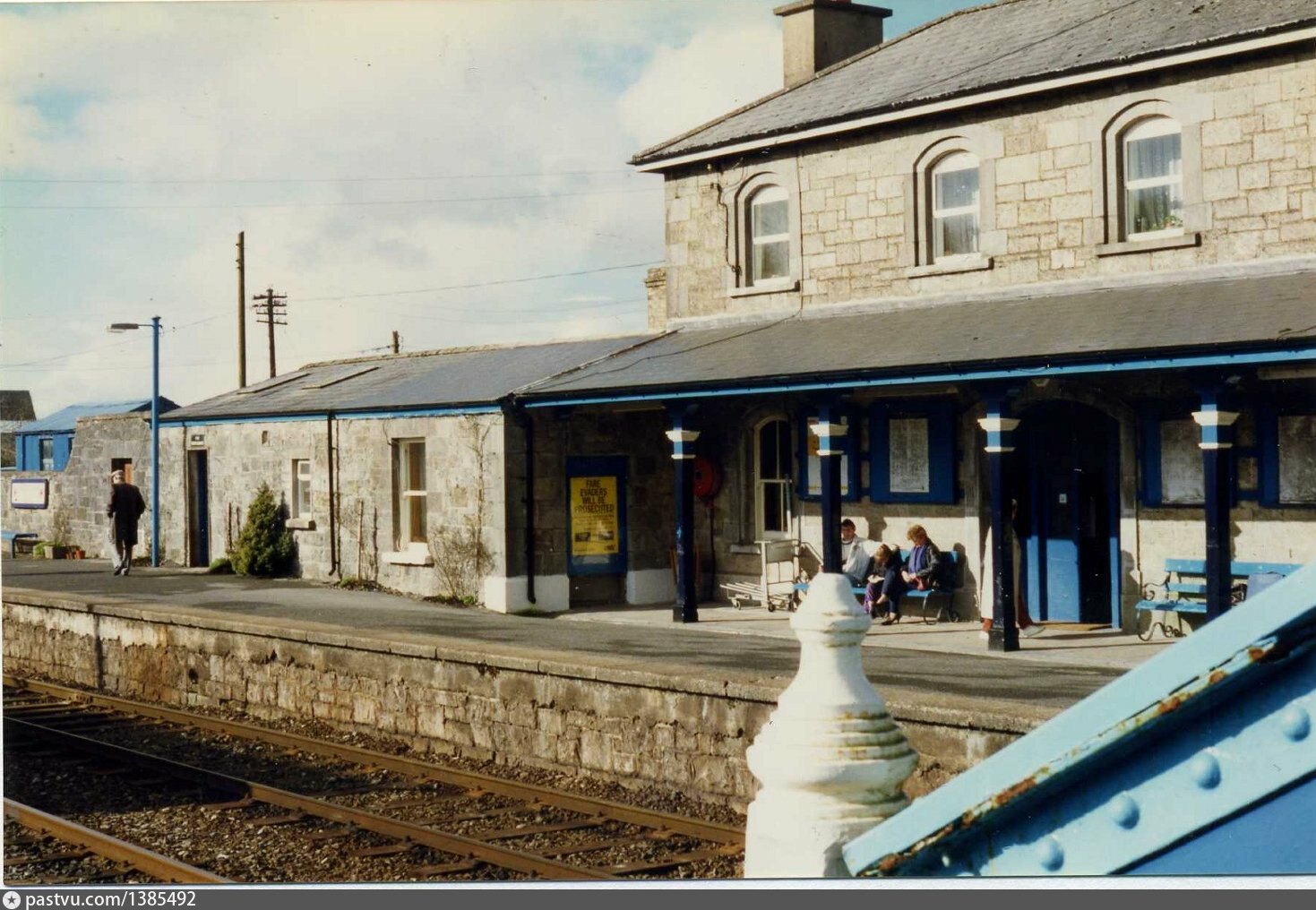 Penitential station in BrideswellPenitential station · 827 yd
 Embanked enclosureFairy fort / earthen ringfort · 944 yd
 IndicatedFairy fort / stone ringfort · 1104 yd
 CastlesampsonCastle, tower house · 1.8 mi
 Curraghboy CastleCastle, unclassified · 1.9 mi
 Sheep HillMountain / peak · 3.8 mi
 Bally BayBay · 4.1 mi
 Hodson's BayBay · 4.2 mi
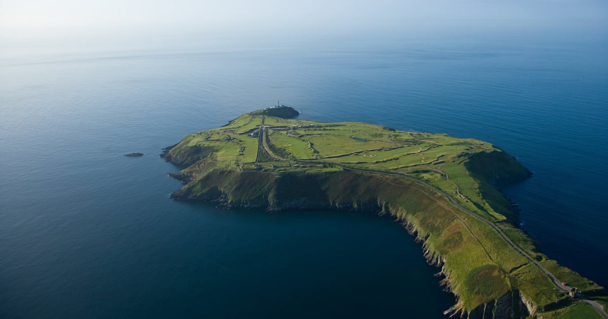 Sedgy IslandIslet · 4.2 mi
 Hodson's PillarIslet · 4.3 mi
 ClonmacnoiseMuseum · 9.3 mi