What is recorded here
Situated on level summit of a broad rise in gently undulating pasture. Circular area (diam. 14m) defined by a scarp (ext. H 0.2m) with a fosse (Wth 5.3m) and an external bank of earth (Wth 6m; int. H 0.4m). An E-W orientated field boundary bank of earth and stone crosses the site at SW and at SE. The scarped edge, the fosse and the external bank are absent to the S of this boundary. There is a modern break (Wth 4m) in the external bank at NE.
Compiled by: Patrick F. O'Donovan
Date of upload: 21 April 2011
A ring-barrow, likely dating to the Early Bronze Age, characterized by its circular fosse and external bank. Such monuments are significant as they often mark individual burials and reflect early ceremonial landscape use in Britain.
The monument record does not grant public access. Check the route and ask the landowner before entering private land.
- What survives
- Recorded monument
Places near here
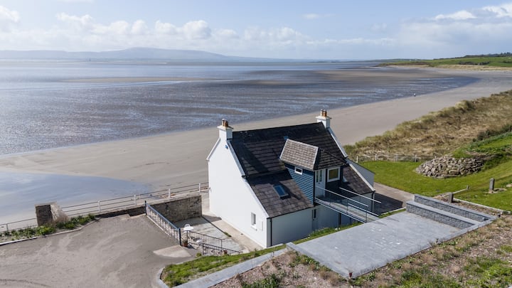 Enclosure in BallyscannelEnclosure · 1392 yd
 Enclosure in AgharrowEnclosure · 1731 yd
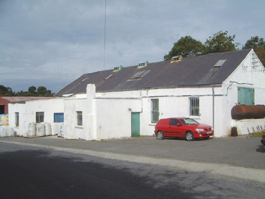 Ballinfull Creamerycreamery · 1.0 mi
 Upperglen WoodForest · 1.2 mi
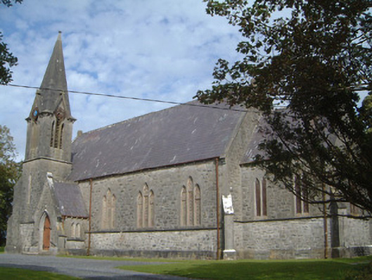 Lissadell Church (Drumcliff)church/chapel · 1.3 mi
 Forester's WoodForest · 1.4 mi
 de Cuellar Armada MonumentMemorial · 1.5 mi
 Bawn in DoonforeBawn · 1.5 mi
 Atlantic SheepdogsHeritage attraction · 1.6 mi
 Streedagh BeachVisitor information · 2.0 mi
 Castle (Site of)Castle, unclassified · 2.2 mi
 InishnagorIslet · 2.7 mi