What is recorded here
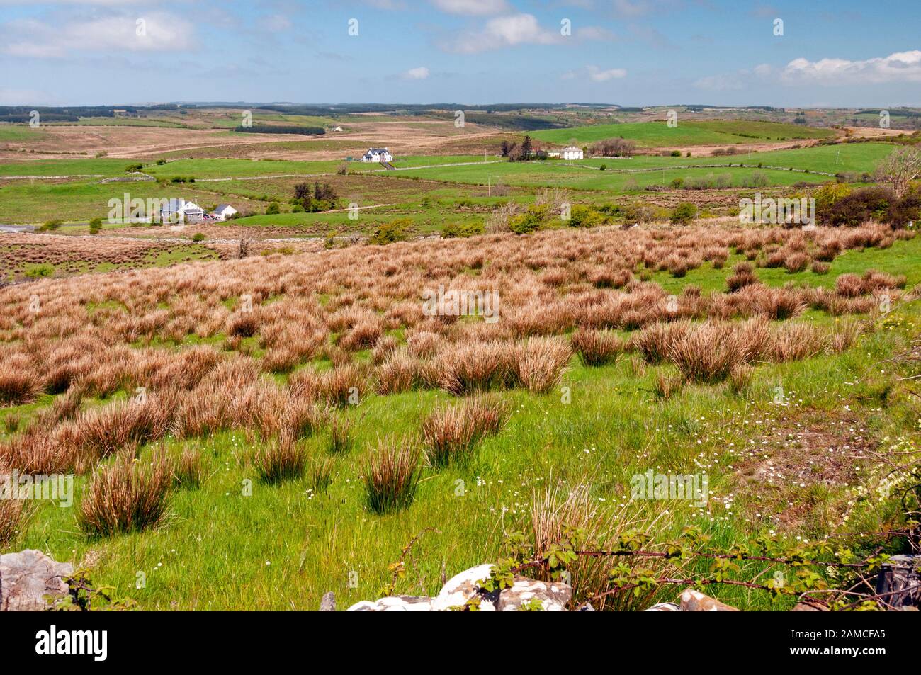
Barrow is a circular ring-barrow on a slight south-facing slope in County Clare, Ireland. Its central mound rises barely a metre above rough pasture, surrounded by a flat-bottomed fosse choked with rushes and a thin external bank broken by a north-west gap. Sixty-six metres south-east lies a separate children’s burial ground, suggesting the wider landscape served death rather than life. The barrow may have marked a boundary, a memorial or a place of sacrifice, but its exact purpose has vanished with the people who built it.
On a slight S-facing slope, in a low-lying position, in undulating rough pasture. A circular ring-barrow (max. est. dims. 20m E-W; 19.3m N-S) defined by a central mound (dims. 10.5m E-W; 10.3m N-S; H 0.9-1.1m) surrounded by a flat-bottomed fosse (Wth 1.1-1.3m at base), overgrown with rushes, and a slight external bank (Wth 3-3.6m; int. H 0.3-0.4m; ext. H 0.1m). There is a gap in the bank (Wth 2.4m) at NW. A children’s burial ground (CL016-163----) is located c. 66m to the SSE.
Compiled by: Olive Alcock and Lynda McCormack
Date of upload: 4 August 2022
A Neolithic ring-barrow; significant as a rare surviving example of early funerary architecture in the region.
The monument record does not grant public access. Check the route and ask the landowner before entering private land.
- What survives
- Recorded monument
Places near here
 Enclosure in Toormore (corcomroe By.)Enclosure · 1021 yd
 LissyoganFairy fort / earthen ringfort · 1368 yd
 Inchovea Castle (in ruins)Castle, unclassified · 1.2 mi
 Kiltoraght Church (in ruins)Church · 1.2 mi
 Church (in Ruins)Church · 1.3 mi
 Bawn in CahermaconBawn · 1.4 mi
 Fergus River CaveCave · 1.7 mi
 Inchiquin IslandIslet · 1.9 mi
 Rock IslandIsland · 2.0 mi
 European ashEuropean ash · 3.5 mi
 Farbrega RockNamed rock · 4.3 mi
 Burren Centre KilfenoraVisitor information · 4.4 mi