
What is recorded here
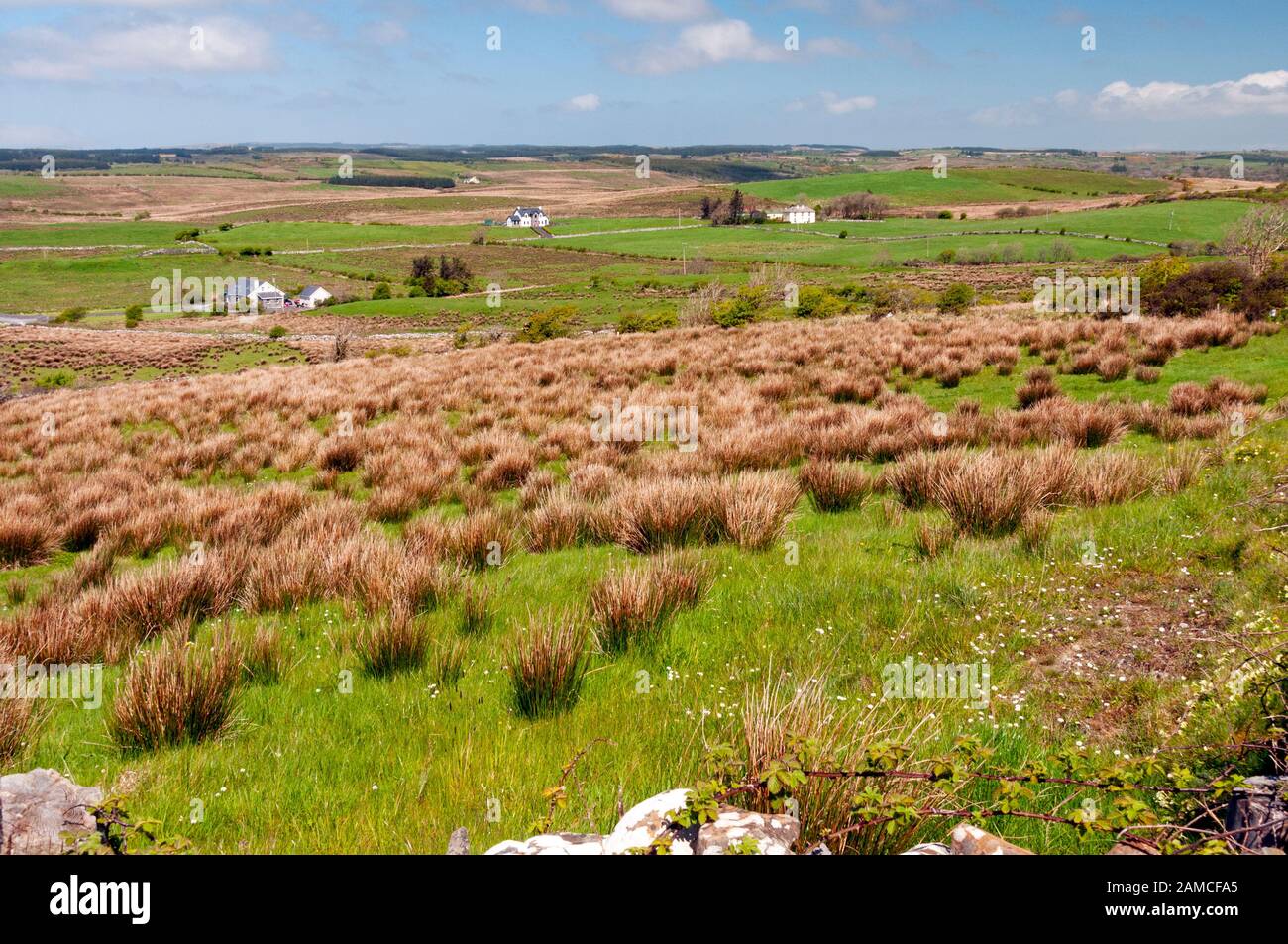
At the base of a steep S-facing hillock in marshy pasture and immediately to the N of a stream; overlooked by steep hills on all sides. Hachured on the 1842 ed. of the OS 6-inch map as a large roughly subcircular enclosure (c. 50m NW-SE; c. 47m NE-SW). On field inspection in May 1999, the area was heavily overgrown with gorse and reeds and no visible trace was noted. However, its outline is visible on Google Earth aerial imagery dated March 2020.
The following image has been uploaded: CL016-088----_01.jpg
Compiled by: Olive Alcock and Lynda McCormack
Date of upload: 12 May 2022
This remains an important historical record, but the official description says the monument is no longer visible or has been destroyed. The monument record does not grant public access. Check the route and ask the landowner before entering private land.
- What survives
- No visible remains or recorded as destroyed
Places near here
 Toormore FortFairy fort / earthen ringfort · 798 yd
 Inchovea Castle (in ruins)Castle, unclassified · 1180 yd
 LissyoganFairy fort / earthen ringfort · 1435 yd
 Kiltoraght Church (in ruins)Church · 1628 yd
 Saint Attracta's Catholic Churchchurch/chapel · 1.1 mi
 Bawn in CahermaconBawn · 1.5 mi
 Fergus River CaveCave · 2.0 mi
 Inchiquin IslandIslet · 2.5 mi
 Rock IslandIsland · 2.6 mi
 European ashEuropean ash · 3.3 mi
 Burren Centre KilfenoraVisitor information · 3.9 mi
 High CrossHeritage attraction · 4.0 mi
Other information
Photo: Credit not shown in the picture search · Rights wording not checked; contact us if this picture should be removed