What is recorded here
On level pasture at the W foot of a low knoll, 11m E of the Slate River. A very poorly preserved, sub-circular area (diams. 6.4m N-S; 6.1m E-W) is defined by a shallow, inner fosse (Wth 0.7m at N-2m at W; D 0.15m), and a very low, outer earthen bank (Wth 2.7m-5.4m; H 0.2m) NNW-SE. The ground immediately outside the monument along the W is poached by livestock.
Compiled by: Gearóid Conroy
Date of upload: 10 June 2011
The monument record does not grant public access. Check the route and ask the landowner before entering private land.
- What survives
- Recorded monument
Places near here
 Blackwood Castle (in ruins)Castle, tower house · 161 yd
 Mullhall's FortArchaeological place · 429 yd
 St. Farnans WellHoly well · 1.0 mi
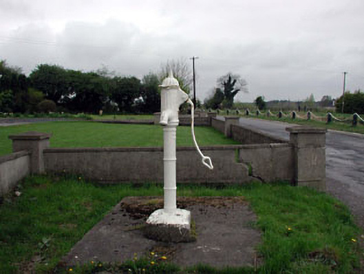 water pumpwater pump · 1.2 mi
 Binn's Bridgebridge · 1.2 mi
 Ballynafagh Bog Special Area of ConservationNature reserve · 1.3 mi
 Grand Canal WayVisitor information · 1.3 mi
 The Kildare MazeHeritage attraction · 2.2 mi
 Bawn in Grangeclare WestBawn · 2.7 mi
 Museum of MotorsportMuseum · 3.4 mi
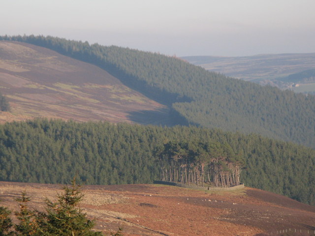 TumulusWood · 4.3 mi
 9/11 MemorialMemorial · 4.5 mi