What is recorded here
In improved, wet pasture, on a gentle SW-facing slope. Circular area (dims. 4.75m N-S; 5.25m E-W) defined by fosse (overall Wth 1.7m; D 0.1m) W-NE which is best defined (overall Wth 2.4m; basal Wth 1.1m; D 0.1m) NE-W. Remains of levelled outer bank (Wth 3.5-4.45m; int. H 0.1m; ext. H 0.1-0.15m). Interior is level. Tertiary road is 40m to SE.
Compiled by: Jean Farrelly
Date of upload: 26 August 2011
A Neolithic ring-barrow, dating to approximately 3000–2500 BCE. This type of monument is significant as it represents early funerary practices and social organisation in prehistoric Ireland.
The monument record does not grant public access. Check the route and ask the landowner before entering private land.
- What survives
- Recorded monument
Places near here
 Enclosure in KnockphelaghEnclosure · 1452 yd
 Enclosure in LisheenkyleEnclosure · 1.0 mi
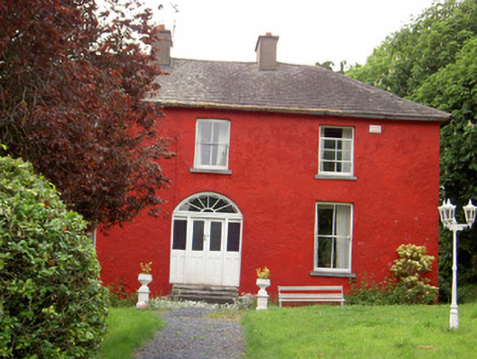 Chadville Househouse · 1.3 mi
 IndicatedCastle, unclassified · 1.4 mi
 CastleCastle, ringwork · 1.5 mi
 Soloheadbeg Ambushambush · 1.6 mi
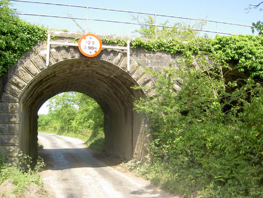 bridgebridge · 1.7 mi
 Soloheadbeg Ambush SiteMemorial · 2.0 mi
 Oola HillMountain / peak · 2.7 mi
 I.R.A. 3rd. Tipperary Brigade MemorialMemorial · 4.4 mi
 European ashEuropean ash · 5.1 mi
 KnockseefinMountain / peak · 7.6 mi