What is recorded here
In level, poorly drained area of improved pasture, at base of SE-facing slope. Circular area (dims. 5.8m N-S; 6.0m E-W) defined by remains of a shallow fosse (Wth 1.8m; D 0.12m) and the remains of outer bank (Wth at top 1.6m; total Wth 4.5m; int. H 0.12m; ext. H 0.14m) WSW-NNE. The fosse is waterlogged SSW-SE. Interior is level and same height as exterior ground level. Identified as a barrow during a survey by Eoin Grogan.
Compiled by: Jean Farrelly
Date of upload: 26 August 2011
Neolithic ring-barrow; dates to the Early to Middle Neolithic period (c. 3700–2500 BCE). This type of monument is significant as a rare and early form of burial structure in Ireland, representing communal burial practices and early earthwork construction techniques.
The monument record does not grant public access. Check the route and ask the landowner before entering private land.
- What survives
- Recorded monument
Places near here
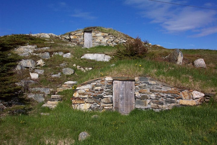 Enclosure in Kilross (clonbeg Par.)Enclosure · 319 yd
 BarrowBarrow, unclassified · 603 yd
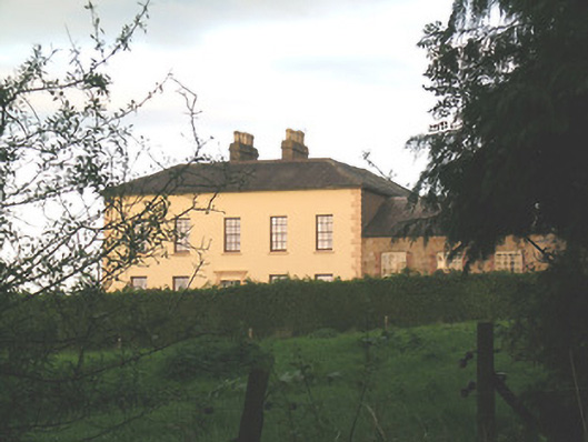 Ballywire Househouse · 688 yd
 Aughaclareen Bridgebridge · 823 yd
 Carn (site of)Cairn, burial cairn · 1.4 mi
 Darby's Bed Walk LoopWalking route · 2.1 mi
 Duntryleague HillMountain / peak · 2.1 mi
 CastleCastle, ringwork · 2.4 mi
 Duntryleague - hachuredCastle, ringwork · 2.7 mi
 SlievenamuckMountain / peak · 3.3 mi
 Saint Patrick's WellSpring · 3.5 mi
 St Patrick's WellSpring · 4.0 mi