What is recorded here
In gently undulating pasture, at S edge of a poorly drained area. Identified on Bruff Survey aerial photograph (ref. 2133; Bruff 48). Circular area (dims. 5.3m N-S; 5.75m E-W) defined by fosse (Wth 2m; D 0.1m) and remains of an outer bank (Wth 3.6m; int. H 0.1m; ext. H 0.18m) NW-N-E and a naturally undulating area defines monument SSE-W. Breaks (Wth c. 3m) in bank at WNW and ESE. Interior slopes downwards to NE with prevalent slope. Shallow drain (long-axis c. NNE-SSW) to immediate E and W. A ringfort (TS066-123----) lies c. 6-8m to SSW.
Compiled by: Jean Farrelly
Date of revised upload: 8 September 2014
A ring-barrow, likely dating to the Early Bronze Age. Its circular fosse and central burial mound suggest a funerary function, typical of ceremonial or elite burials in the period.
The monument record does not grant public access. Check the route and ask the landowner before entering private land.
- What survives
- Recorded monument
Places near here
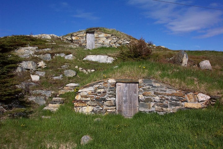 Enclosure in Kilross (clonbeg Par.)Enclosure · 323 yd
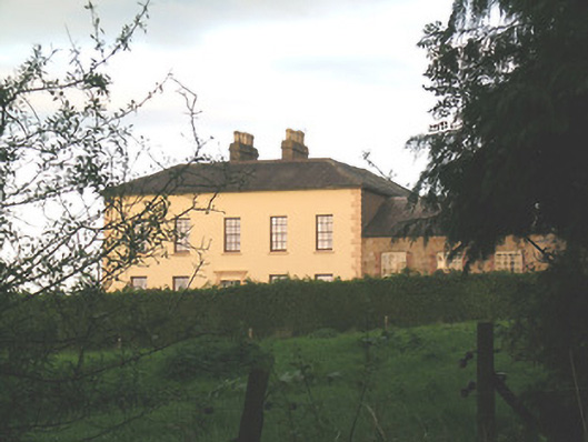 Ballywire Househouse · 635 yd
 BarrowBarrow, unclassified · 936 yd
 Aughaclareen Bridgebridge · 1135 yd
 Carn (site of)Cairn, burial cairn · 1.6 mi
 Darby's Bed Walk LoopWalking route · 2.1 mi
 Duntryleague HillMountain / peak · 2.1 mi
 CastleCastle, ringwork · 2.2 mi
 Duntryleague - hachuredCastle, ringwork · 2.8 mi
 SlievenamuckMountain / peak · 3.1 mi
 Saint Patrick's WellSpring · 3.7 mi
 St Patrick's WellSpring · 4.3 mi