What is recorded here
In low-lying level wet pasture. Monument identified by Martin Doody (Bruff 37). Another ring-barrow (TS065-057002-) is located 4m to the NW. Circular area (diam. 3.4m) enclosed by a low earthen scarp (Wth 0.75m; H 0.15m) with a shallow external fosse (Wth at base 0.8m; overall Wth 1.5m; D 0.10-0.15m). The interior is level and clear of overgrowth.
Compiled by: Jean Farrelly
Date of revised upload: 10 September 2014
Ring-barrow, likely dating to the Early Bronze Age. These monuments are significant as they represent one of the main burial traditions in Ireland during the Bronze Age, often associated with elite or high-status individuals.
The monument record does not grant public access. Check the route and ask the landowner before entering private land.
- What survives
- Recorded monument
Places near here
 Site of Killeen ChurchChurch · 419 yd
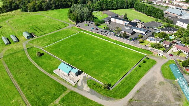 Field system in BallyhoneField system · 1376 yd
 CashlanCastle, unclassified · 1.4 mi
 Killeengallive Abbey (in Ruins)Religious house, Franciscan friars · 1.4 mi
 CastleCastle, motte · 1.4 mi
 RoadRoad, road/trackway · 1.6 mi
 Kilteely HillMountain / peak · 2.7 mi
 St. Patrick's WellSpring · 3.1 mi
 Flat cemetery in Knockainy WestFlat cemetery · 3.5 mi
 St Patrick's WellSpring · 4.0 mi
 Ballinvreena LoopVisitor information · 6.9 mi
 SlievereaghMountain / peak · 7.4 mi