What is recorded here
In flat terrain, in a reclaimed field under pasture. Within a linear barrow cemetery which runs NE-SW (L c. 130m). Monument identified on Google Earth aerial imagery (Imagery Date: 2/20/2009). This ring-barrow (overall diam. 10.8m N-S; 11.2m E-W) consists of a low circular area (diam. 5.2m N-S; 5.4m E-W) defined by a fosse (Wth 1.4m; D 0.06m) with slight traces of an outer bank in the SE quadrant (Wth 2.05m at base; 0.9m at creast; H above int. 0.11m; H above ext. 0.06m). Other ring-barrows in the cemetery include TS065-073001-; TS065-073002- and TS065-073003- which lie 58m, 50m and 26m to the SW respectively, TS065-073005- lies 60m to the NE and TS065-073006- and TS065-073007- lie 45m and 67m to the ENE respectively.
Compiled by: Jean Farrelly
Date of upload: 10 December 2013
A ring-barrow, likely dating to the Early Bronze Age, part of a linear cemetery arrangement; such monuments are significant for understanding prehistoric burial practices and territorial organisation in Ireland.
The monument record does not grant public access. Check the route and ask the landowner before entering private land.
- What survives
- Recorded monument
Places near here
 BarrowBarrow, ditch barrow · 793 yd
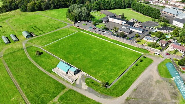 Field system in BallyhoneField system · 955 yd
 CastleCastle, motte · 1387 yd
 Ahnageeragh Bridgebridge · 1.4 mi
 CashlanCastle, unclassified · 1.5 mi
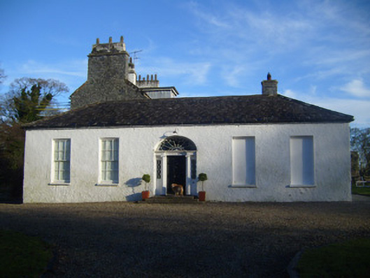 Kenmare Castlehouse · 1.8 mi
 Flat cemetery in Knockainy WestFlat cemetery · 2.8 mi
 Kilteely HillMountain / peak · 2.9 mi
 St. Patrick's WellSpring · 3.3 mi
 St Patrick's WellSpring · 3.5 mi
 Ballinvreena LoopVisitor information · 6.4 mi
 SlievereaghMountain / peak · 7.0 mi