What is recorded here
In gently undulating wet pasture, on the W edge of a small barrow cemetery, with a ring-barrows (TS065-007002-; TS065-007003-) c. 20m to the NNW and c. 100m to the NE respectively and ditch barrows (TS065-007004-; TS065-007005-; TS065-007006-; TS065-007007-) c. 105m to the E, c. 90m to the E, c. 95m to the SE and c. 50m to the NE respectively. Identified on an aerial photograph (Ordnance Survey 2404/3). Circular area (diam. 5m) enclosed by an earthen scarp (Wth 0.7m; H 0.1m) with a shallow fosse (Wth at base 0.6m) and an external low broad earthen bank (int. H 0.1m; overall Wth 1m). The W half of the circuit is better preserved while the E half is barely visible at ground level. The interior is level and clear of overgrowth.
Compiled by: Jean Farrelly
Date of upload: 12 May 2014
A ring-barrow, likely dating to the Early Bronze Age, associated with a small barrow cemetery; such monuments are significant for understanding burial practices and settlement patterns in prehistoric Ireland.
The monument record does not grant public access. Check the route and ask the landowner before entering private land.
- What survives
- Recorded monument
Places near here
 CastleCastle, motte · 840 yd
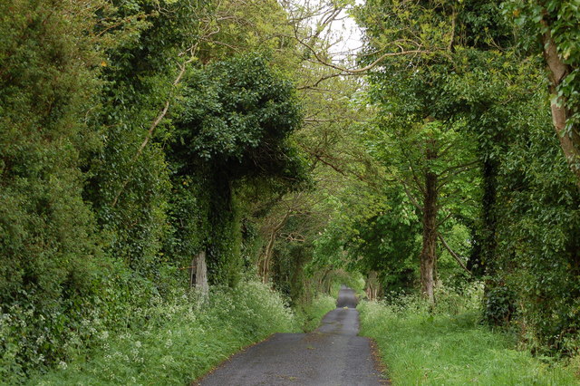 Enclosure in BallyhoneEnclosure · 1300 yd
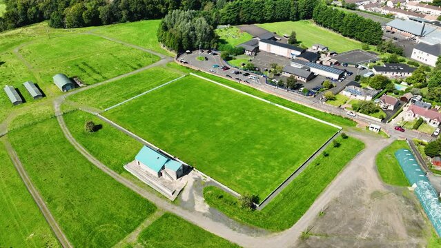 Field system in BallyhoneField system · 1529 yd
 Kilfrushcountry house · 1.2 mi
 Glebe Ho.Castle, unclassified · 1.4 mi
 Ahnageeragh Bridgebridge · 1.4 mi
 St Patrick's WellSpring · 2.4 mi
 Flat cemetery in Knockainy WestFlat cemetery · 2.7 mi
 Saint Patrick's WellSpring · 3.6 mi
 Kilteely HillMountain / peak · 3.9 mi
 Ballinvreena LoopVisitor information · 5.3 mi
 SlievereaghMountain / peak · 5.9 mi